Wellington night lights from space
Night Light of Wellington (England) from space (United Kingdom) Src. Average luminocity for 10x10km area is 37.4378% and for 50x50km: 7.2%.
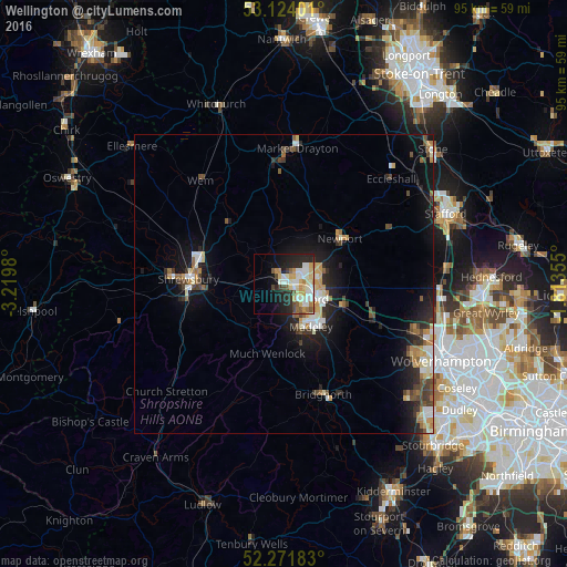
Analysis of Wellington night lights 2016
Square area 10x10 km:
 6.08%
6.08%90-99
11.9%80-89
5.82%70-79
5.16%60-69
2.65%50-59
3.97%40-49
2.65%30-39
2.12%20-29
11.9%10-19
12.96%0-9
34.79%Square area 50x50 km:
0.89%90-99
1.36%80-89
0.8%70-79
0.89%60-69
0.76%50-59
0.8%40-49
1.09%30-39
1%20-29
2.05%10-19
5.42%0-9
84.93%Clear (daylight) street map image can be seen on geolist.org.
Map coordinates:
53° 7' 26.4" North, 3° 13' 11.3" West
52° 42' 0" North, 2° 31' 0" West
52° 16' 18.6" North, 1° 48' 48.8" West
Some cities around Wellington sort by population:
• Telford
5.2 km =3.2 mi,  119°
119°
• Shrewsbury
15.9 km =9.9 mi,  274°
274°
• Ryton
14.6 km =9.1 mi,  129°
129°
• Hadley
2.2 km =1.4 mi,  90°
90°
• Newport
12 km =7.5 mi,  51°
51°
• Oakengates
4.5 km =2.8 mi,  97°
97°
• Shifnal
10.3 km =6.4 mi,  108°
108°
• Broseley
9.9 km =6.2 mi,  166°
166°
2634573 (p: 22,816)
Sources (retrieved 2019-11-25):
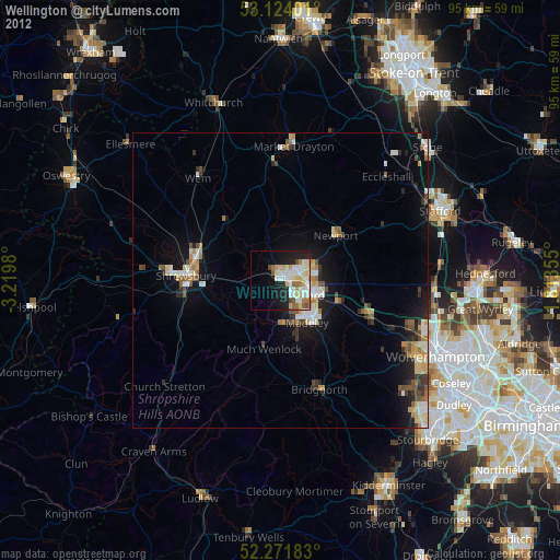
» Earth at Night: Flat Maps 2012, 2016