Shrewsbury night lights from space
Night Light of Shrewsbury (England) from space (United Kingdom) Src. Average luminocity for 10x10km area is 21.3295% and for 50x50km: 4.8194%.
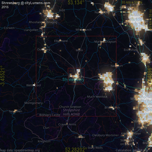
Analysis of Shrewsbury night lights 2016
Square area 10x10 km:
 2.9%
2.9%90-99
3.41%80-89
1.77%70-79
2.53%60-69
2.4%50-59
3.16%40-49
2.78%30-39
3.79%20-29
4.29%10-19
19.44%0-9
53.54%Square area 50x50 km:
0.65%90-99
0.98%80-89
0.58%70-79
0.62%60-69
0.44%50-59
0.55%40-49
0.42%30-39
0.67%20-29
1.3%10-19
3.5%0-9
90.28%Clear (daylight) street map image can be seen on geolist.org.
Map coordinates:
53° 8' 2.4" North, 3° 27' 18.8" West
52° 42' 36.3" North, 2° 45' 7.5" West
52° 16' 55.3" North, 2° 2' 56.3" West
Some cities around Shrewsbury sort by population:
• Telford
20.7 km =12.9 mi,  100°
100°
• Wellington
15.9 km =9.9 mi,  94°
94°
• Hadley
18.1 km =11.2 mi, 93°
• Newport
26 km =16.2 mi,  75°
75°
• Oakengates
20.4 km =12.7 mi, 94°
• Wem
16.6 km =10.3 mi,  7°
7°
• Broseley
21.1 km =13.1 mi,  120°
120°
• Bayston Hill
3.9 km =2.4 mi,  189°
189°
2637891 (p: 71,715)
Sources (retrieved 2019-11-25):
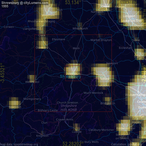
» NASA, Earths city lights 1995
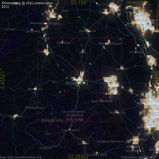
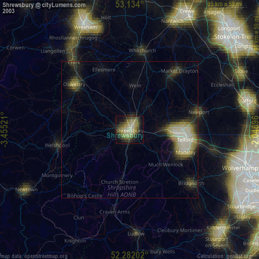
» NASA city lights 2003
» Earth at Night: Flat Maps 2012, 2016