Washwood Heath night lights from space
Night Light of Washwood Heath (England) from space (United Kingdom) Src. Average luminocity for 10x10km area is 97.5807% and for 50x50km: 46.0847%.
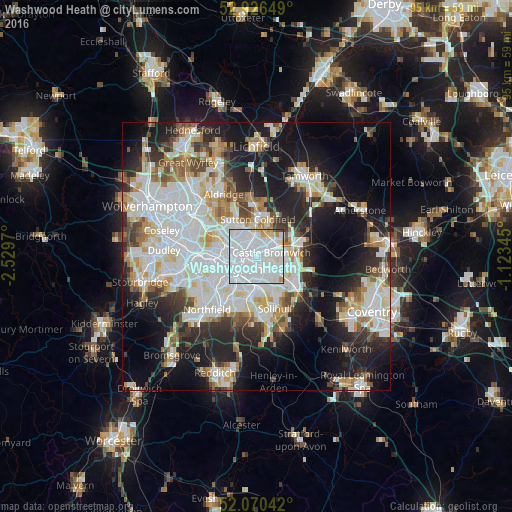
Analysis of Washwood Heath night lights 2016
Square area 10x10 km:
 66.53%
90-99
25.66%80-89
3.57%70-79
2.91%60-69
0.4%50-59
0%40-49
0.93%30-39
0%20-29
0%10-19
0%0-9
0%Square area 50x50 km:
14.07%90-99
12.34%80-89
4.09%70-79
4.17%60-69
4.38%50-59
3.52%40-49
4%30-39
4.3%20-29
9.68%10-19
16.56%0-9
22.89%Clear (daylight) street map image can be seen on geolist.org.
Map coordinates:
52° 55' 35.4" North, 2° 31' 46.9" West
52° 30' 1.9" North, 1° 49' 35.7" West
52° 4' 13.5" North, 1° 7' 24.4" West
Some cities around Washwood Heath sort by population:
• Birmingham
5.4 km =3.4 mi,  246°
246°
• Sutton Coldfield
7.4 km =4.6 mi,  5°
5°
• Aston
3.8 km =2.4 mi,  269°
269°
• Acocks Green
5.7 km =3.5 mi,  173°
173°
• Hockley
6.1 km =3.8 mi, 269°
• Chelmsley Wood
6.5 km =4 mi,  112°
112°
• Smethwick
9.6 km =6 mi,  264°
264°
• Castle Vale
2.9 km =1.8 mi,  44°
44°
12076699 (p: 32,921)
Sources (retrieved 2019-11-25):
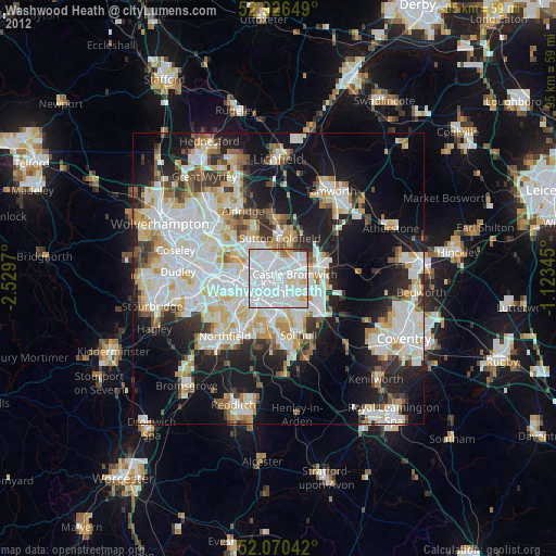
» Earth at Night: Flat Maps 2012, 2016