Acocks Green night lights from space
Night Light of Acocks Green (England) from space (United Kingdom) Src. Average luminocity for 10x10km area is 94.3939% and for 50x50km: 44.069%.
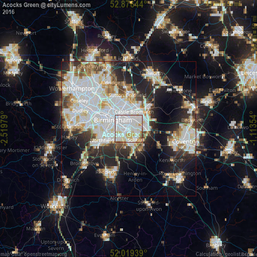
Analysis of Acocks Green night lights 2016
Square area 10x10 km:
 46.46%
90-99
35.23%80-89
7.58%70-79
5.93%60-69
2.65%50-59
1.77%40-49
0.38%30-39
0%20-29
0%10-19
0%0-9
0%Square area 50x50 km:
13.76%90-99
11.98%80-89
3.86%70-79
3.86%60-69
4.02%50-59
3.25%40-49
3.69%30-39
4.04%20-29
9%10-19
15.27%0-9
27.27%Clear (daylight) street map image can be seen on geolist.org.
Map coordinates:
52° 52' 35.2" North, 2° 31' 11.2" West
52° 27' 0" North, 1° 49' 0" West
52° 1' 9.8" North, 1° 6' 48.7" West
Some cities around Acocks Green sort by population:
• Birmingham
6.6 km =4.1 mi,  301°
301°
• Solihull
4.7 km =2.9 mi,  148°
148°
• Washwood Heath
5.7 km =3.5 mi,  353°
353°
• Aston
7.2 km =4.5 mi,  320°
320°
• Shirley
4.4 km =2.7 mi,  182°
182°
• Hockley
8.8 km =5.5 mi,  309°
309°
• Chelmsley Wood
6.2 km =3.9 mi,  59°
59°
• Castle Vale
7.8 km =4.8 mi,  9°
9°
2657703 (p: 26,635)
Sources (retrieved 2019-11-25):
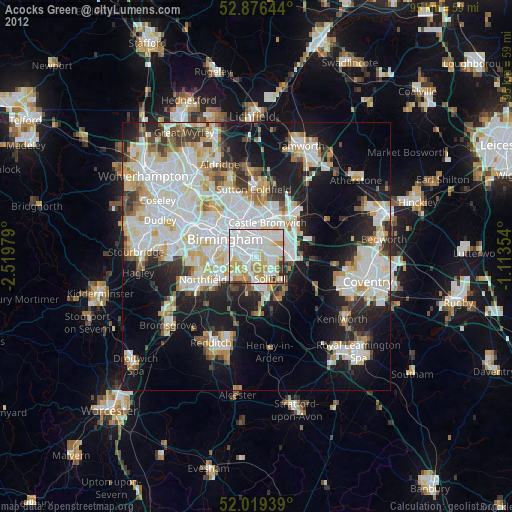
» Earth at Night: Flat Maps 2012, 2016