Sutton Coldfield night lights from space
Night Light of Sutton Coldfield (England) from space (United Kingdom) Src. Average luminocity for 10x10km area is 64.0489% and for 50x50km: 45.9731%.
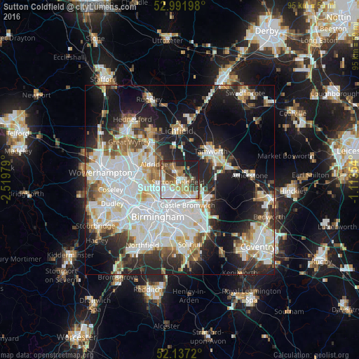

Analysis of Sutton Coldfield night lights 2016
Square area 10x10 km:
 15.21%
90-99
16.14%80-89
7.54%70-79
8.86%60-69
8.47%50-59
6.75%40-49
10.71%30-39
6.75%20-29
11.64%10-19
7.94%0-9
0%Square area 50x50 km:
14.04%90-99
12.24%80-89
4.18%70-79
4.01%60-69
4.26%50-59
3.57%40-49
4.02%30-39
4.33%20-29
9.63%10-19
16.99%0-9
22.73%Clear (daylight) street map image can be seen on geolist.org.
Map coordinates:
52° 59' 31.1" North, 2° 31' 11.2" West
52° 34' 0" North, 1° 49' 0" West
52° 8' 13.9" North, 1° 6' 48.7" West
Some cities around Sutton Coldfield sort by population:
• Washwood Heath
7.4 km =4.6 mi,  185°
185°
• Aston
8.7 km =5.4 mi,  211°
211°
• Brownhills
10.8 km =6.7 mi,  313°
313°
• Aldridge
8 km =5 mi,  302°
302°
• Hockley
10 km =6.2 mi,  222°
222°
• Streetly
4.9 km =3 mi,  292°
292°
• Castle Vale
5.5 km =3.4 mi,  165°
165°
• Fazeley
9.6 km =6 mi,  56°
56°
2636486 (p: 107,030)
Sources (retrieved 2019-11-25):
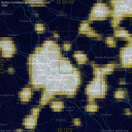
» NASA, Earths city lights 1995
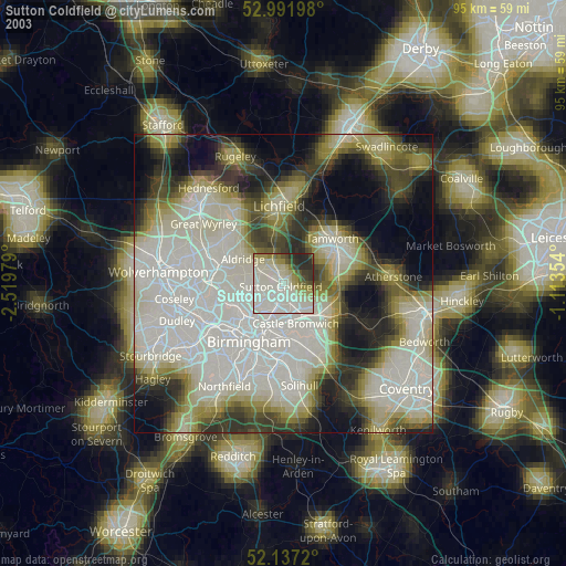
» NASA city lights 2003
» Earth at Night: Flat Maps 2012, 2016