Thetford night lights from space
Night Light of Thetford (England) from space (United Kingdom) Src. Average luminocity for 10x10km area is 8.6667% and for 50x50km: 3.2686%.
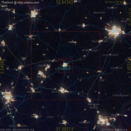
Analysis of Thetford night lights 2016
Square area 10x10 km:
 1.52%
1.52%90-99
2.02%80-89
0.76%70-79
0.63%60-69
1.77%50-59
0.88%40-49
0%30-39
0.51%20-29
0%10-19
0.76%0-9
91.16%Square area 50x50 km:
0.32%90-99
0.49%80-89
0.27%70-79
0.46%60-69
0.5%50-59
0.47%40-49
0.46%30-39
0.46%20-29
0.4%10-19
1.74%0-9
94.43%Clear (daylight) street map image can be seen on geolist.org.
Map coordinates:
52° 50' 36.3" North, 0° 2' 48.8" East
52° 25' 0" North, 0° 45' 0" East
51° 59' 8.7" North, 1° 27' 11.3" East
Some cities around Thetford sort by population:
• Bury St Edmunds
19.1 km =11.9 mi,  187°
187°
• Newmarket
30.3 km =18.8 mi,  230°
230°
• Mildenhall
18.1 km =11.2 mi,  243°
243°
• Diss
24.8 km =15.4 mi,  100°
100°
• Attleborough
21.2 km =13.2 mi,  58°
58°
• Watton
17.6 km =10.9 mi,  18°
18°
• Soham
29.5 km =18.3 mi,  252°
252°
• Swaffham
26.1 km =16.2 mi,  350°
350°
2636032 (p: 24,833)
Sources (retrieved 2019-11-25):
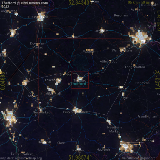
» Earth at Night: Flat Maps 2012, 2016