Mildenhall night lights from space
Night Light of Mildenhall (England) from space (United Kingdom) Src. Average luminocity for 10x10km area is 17.7336% and for 50x50km: 4.2118%.
Analysis of Mildenhall night lights 2016
Square area 10x10 km:
 2.78%
2.78%90-99
3.16%80-89
0.76%70-79
2.65%60-69
2.53%50-59
1.77%40-49
1.89%30-39
1.14%20-29
1.39%10-19
21.46%0-9
60.48%Square area 50x50 km:
0.38%90-99
0.6%80-89
0.34%70-79
0.44%60-69
0.66%50-59
0.65%40-49
0.62%30-39
0.68%20-29
0.73%10-19
2.7%0-9
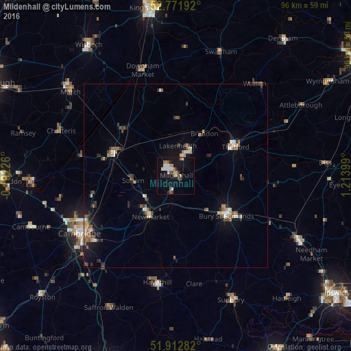
92.21%Clear (daylight) street map image can be seen on geolist.org.
Map coordinates:
52° 46' 18.9" North, 0° 11' 32.1" West
52° 20' 40.1" North, 0° 30' 39.1" East
51° 54' 46.2" North, 1° 12' 50.4" East
Some cities around Mildenhall sort by population:
• Bury St Edmunds
17.5 km =10.9 mi,  128°
128°
• Thetford
18.1 km =11.2 mi,  63°
63°
• Newmarket
13.3 km =8.3 mi,  213°
213°
• Ely
18 km =11.2 mi,  289°
289°
• Soham
11.9 km =7.4 mi,  265°
265°
• Littleport
18.8 km =11.7 mi,  312°
312°
• Burwell
14.6 km =9.1 mi,  238°
238°
• Waterbeach
23.4 km =14.5 mi,  248°
248°
2642543 (p: 14,382)
Sources (retrieved 2019-11-25):
» Earth at Night: Flat Maps 2012, 2016