Teignmouth night lights from space
Night Light of Teignmouth (England) from space (United Kingdom) Src. Average luminocity for 10x10km area is 7.0682% and for 50x50km: 4.5956%.
Analysis of Teignmouth night lights 2016
Square area 10x10 km:
 0.27%
0.27%90-99
0.67%80-89
0.13%70-79
0.67%60-69
0.53%50-59
0.94%40-49
1.6%30-39
0.4%20-29
1.74%10-19
9.89%0-9
83.16%Square area 50x50 km:
0.44%90-99
0.71%80-89
0.45%70-79
0.32%60-69
0.5%50-59
0.84%40-49
0.89%30-39
0.67%20-29
0.78%10-19
4.53%0-9
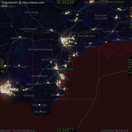
89.87%Clear (daylight) street map image can be seen on geolist.org.
Map coordinates:
50° 59' 32.5" North, 4° 11' 58.2" West
50° 32' 51.6" North, 3° 29' 46.9" West
50° 5' 55.6" North, 2° 47' 35.7" West
Some cities around Teignmouth sort by population:
• Torquay
9.7 km =6 mi,  192°
192°
• Paignton
13.4 km =8.3 mi,  202°
202°
• Newton Abbot
8.4 km =5.2 mi,  255°
255°
• Exmouth
10.2 km =6.3 mi,  40°
40°
• Kingsteignton
6.1 km =3.8 mi,  272°
272°
• Dawlish
4.3 km =2.7 mi,  29°
29°
• Cockington
10.3 km =6.4 mi, 204°
• Budleigh Salterton
15.3 km =9.5 mi,  53°
53°
2636132 (p: 17,463)
Sources (retrieved 2019-11-25):
» Earth at Night: Flat Maps 2012, 2016