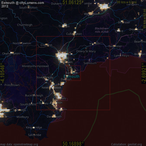
Exmouth night lights from space
Night Light of Exmouth (England) from space (United Kingdom) Src. Average luminocity for 10x10km area is 7.2607% and for 50x50km: 4.6309%.
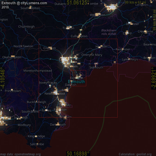
Analysis of Exmouth night lights 2016
Square area 10x10 km:
 0.13%
0.13%90-99
1.07%80-89
0.4%70-79
0%60-69
1.07%50-59
2.14%40-49
1.34%30-39
2.81%20-29
1.6%10-19
2.14%0-9
87.3%Square area 50x50 km:
0.44%90-99
0.71%80-89
0.48%70-79
0.32%60-69
0.48%50-59
0.88%40-49
0.88%30-39
0.68%20-29
0.71%10-19
4.53%0-9
89.89%Clear (daylight) street map image can be seen on geolist.org.
Map coordinates:
51° 3' 40.5" North, 4° 6' 19.7" West
50° 37' 2" North, 3° 24' 8.4" West
50° 10' 8.3" North, 2° 41' 57.2" West
Some cities around Exmouth sort by population:
• Exeter
14.8 km =9.2 mi,  323°
323°
• Newton Abbot
17.8 km =11.1 mi,  236°
236°
• Heavitree
13.3 km =8.3 mi,  329°
329°
• Teignmouth
10.2 km =6.3 mi,  220°
220°
• Sidmouth
14.1 km =8.8 mi,  54°
54°
• Kingsteignton
14.8 km =9.2 mi, 239°
• Dawlish
6 km =3.7 mi,  228°
228°
• Budleigh Salterton
5.9 km =3.7 mi,  76°
76°
2649800 (p: 34,432)
Sources (retrieved 2019-11-25):
» Earth at Night: Flat Maps 2012, 2016