Paignton night lights from space
Night Light of Paignton (England) from space (United Kingdom) Src. Average luminocity for 10x10km area is 21.6933% and for 50x50km: 2.6429%.
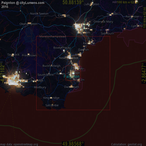
Analysis of Paignton night lights 2016
Square area 10x10 km:
 2.1%
2.1%90-99
1.82%80-89
1.68%70-79
1.68%60-69
2.8%50-59
5.04%40-49
7.7%30-39
3.22%20-29
2.38%10-19
22.41%0-9
49.16%Square area 50x50 km:
0.21%90-99
0.29%80-89
0.19%70-79
0.23%60-69
0.36%50-59
0.58%40-49
0.63%30-39
0.38%20-29
0.35%10-19
2.19%0-9
94.6%Clear (daylight) street map image can be seen on geolist.org.
Map coordinates:
50° 52' 53" North, 4° 16' 15.7" West
50° 26' 8.3" North, 3° 34' 4.4" West
49° 59' 8.4" North, 2° 51' 53.2" West
Some cities around Paignton sort by population:
• Torquay
4.2 km =2.6 mi,  45°
45°
• Newton Abbot
10.8 km =6.7 mi,  343°
343°
• Teignmouth
13.4 km =8.3 mi,  22°
22°
• Brixham
5.9 km =3.7 mi,  141°
141°
• Kingsteignton
12.8 km =8 mi,  355°
355°
• Cockington
3.2 km =2 mi,  14°
14°
• Totnes
8.3 km =5.2 mi,  266°
266°
• Dartmouth
9.3 km =5.8 mi,  185°
185°
2640681 (p: 49,886)
Sources (retrieved 2019-11-25):
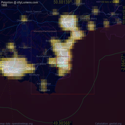
» NASA, Earths city lights 1995
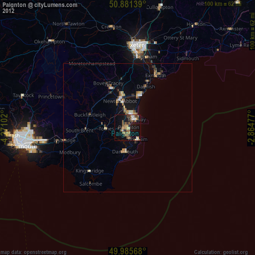
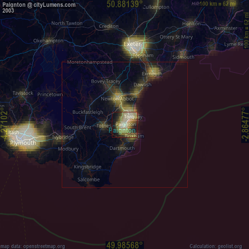
» NASA city lights 2003
» Earth at Night: Flat Maps 2012, 2016