Budleigh Salterton night lights from space
Night Light of Budleigh Salterton (England) from space (United Kingdom) Src. Average luminocity for 10x10km area is 2.0989% and for 50x50km: 4.5546%.
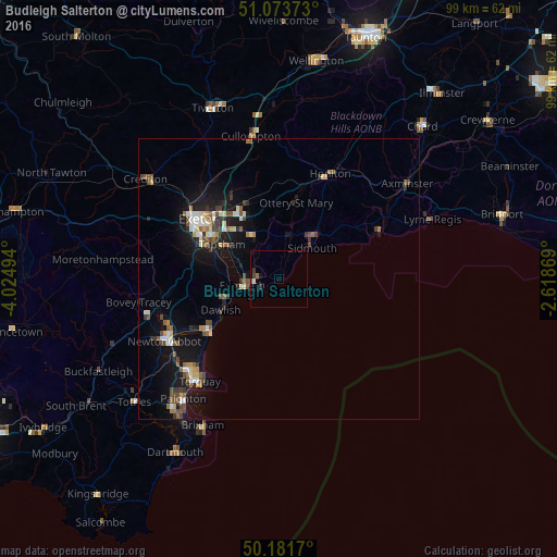
Analysis of Budleigh Salterton night lights 2016
Square area 10x10 km:
 0.13%
0.13%90-99
0.4%80-89
0%70-79
0%60-69
0.53%50-59
0.27%40-49
0.27%30-39
1.34%20-29
0%10-19
0.53%0-9
96.52%Square area 50x50 km:
0.42%90-99
0.71%80-89
0.47%70-79
0.29%60-69
0.52%50-59
0.9%40-49
0.88%30-39
0.65%20-29
0.64%10-19
4.48%0-9
90.03%Clear (daylight) street map image can be seen on geolist.org.
Map coordinates:
51° 4' 25.4" North, 4° 1' 29.8" West
50° 37' 47.4" North, 3° 19' 18.5" West
50° 10' 54.1" North, 2° 37' 7.3" West
Some cities around Budleigh Salterton sort by population:
• Exeter
17.9 km =11.1 mi,  305°
305°
• Exmouth
5.9 km =3.7 mi,  256°
256°
• Heavitree
15.9 km =9.9 mi, 309°
• Teignmouth
15.3 km =9.5 mi,  233°
233°
• Sidmouth
8.9 km =5.5 mi,  40°
40°
• Honiton
21.1 km =13.1 mi,  26°
26°
• Kingsteignton
20.5 km =12.7 mi,  244°
244°
• Dawlish
11.6 km =7.2 mi, 242°
2654376 (p: 5,185)
Sources (retrieved 2019-11-25):
» Earth at Night: Flat Maps 2012, 2016