Dawlish night lights from space
Night Light of Dawlish (England) from space (United Kingdom) Src. Average luminocity for 10x10km area is 7.5147% and for 50x50km: 4.7242%.
Analysis of Dawlish night lights 2016
Square area 10x10 km:
 0.27%
0.27%90-99
1.34%80-89
0.53%70-79
0.67%60-69
0.8%50-59
2.54%40-49
1.87%30-39
1.2%20-29
1.74%10-19
1.07%0-9
87.97%Square area 50x50 km:
0.44%90-99
0.71%80-89
0.5%70-79
0.33%60-69
0.48%50-59
0.91%40-49
0.94%30-39
0.66%20-29
0.76%10-19
4.51%0-9
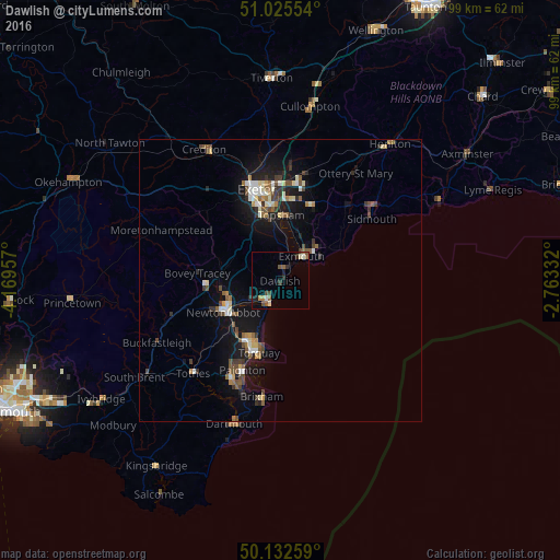
89.75%Clear (daylight) street map image can be seen on geolist.org.
Map coordinates:
51° 1' 31.9" North, 4° 10' 10.5" West
50° 34' 52.2" North, 3° 27' 59.2" West
50° 7' 57.3" North, 2° 45' 48" West
Some cities around Dawlish sort by population:
• Torquay
13.9 km =8.6 mi,  197°
197°
• Newton Abbot
11.8 km =7.3 mi,  240°
240°
• Exmouth
6 km =3.7 mi,  48°
48°
• Heavitree
15.6 km =9.7 mi,  352°
352°
• Teignmouth
4.3 km =2.7 mi,  209°
209°
• Kingsteignton
9 km =5.6 mi,  247°
247°
• Cockington
14.6 km =9.1 mi, 206°
• Budleigh Salterton
11.6 km =7.2 mi,  62°
62°
2651474 (p: 11,312)
Sources (retrieved 2019-11-25):
» Earth at Night: Flat Maps 2012, 2016