Sturry night lights from space
Night Light of Sturry (England) from space (United Kingdom) Src. Average luminocity for 10x10km area is 20.1148% and for 50x50km: 8.5638%.
Analysis of Sturry night lights 2016
Square area 10x10 km:
 2.1%
2.1%90-99
2.8%80-89
3.5%70-79
2.24%60-69
2.8%50-59
1.96%40-49
0.98%30-39
2.8%20-29
4.06%10-19
29.83%0-9
46.92%Square area 50x50 km:
0.86%90-99
1.27%80-89
0.89%70-79
1.11%60-69
1.18%50-59
0.96%40-49
0.99%30-39
0.94%20-29
1.54%10-19
8.68%0-9
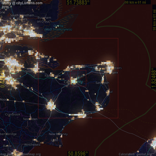
81.58%Clear (daylight) street map image can be seen on geolist.org.
Map coordinates:
51° 44' 19.8" North, 0° 25' 6.3" East
51° 18' 4.8" North, 1° 7' 17.6" East
50° 51' 34.6" North, 1° 49' 28.8" East
Some cities around Sturry sort by population:
• Margate
20.4 km =12.7 mi,  64°
64°
• Canterbury
3.8 km =2.4 mi,  229°
229°
• Ramsgate
21 km =13 mi,  79°
79°
• Herne Bay
8 km =5 mi,  3°
3°
• Whitstable
9.4 km =5.8 mi,  314°
314°
• Faversham
16.3 km =10.1 mi,  275°
275°
• Birchington-on-Sea
15.2 km =9.4 mi, 56°
• Westgate on Sea
17.5 km =10.9 mi, 58°
2636582 (p: 7,386)
Sources (retrieved 2019-11-25):
» Earth at Night: Flat Maps 2012, 2016