Birchington-on-Sea night lights from space
Night Light of Birchington-on-Sea (England) from space (United Kingdom) Src. Average luminocity for 10x10km area is 18.451% and for 50x50km: 4.5249%.
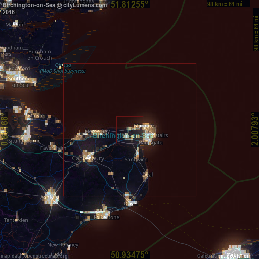
Analysis of Birchington-on-Sea night lights 2016
Square area 10x10 km:
 1.12%
1.12%90-99
1.96%80-89
1.12%70-79
2.38%60-69
2.94%50-59
3.36%40-49
4.2%30-39
1.96%20-29
7%10-19
23.53%0-9
50.42%Square area 50x50 km:
0.32%90-99
0.59%80-89
0.49%70-79
0.61%60-69
0.7%50-59
0.57%40-49
0.67%30-39
0.62%20-29
0.87%10-19
4.56%0-9
90%Clear (daylight) street map image can be seen on geolist.org.
Map coordinates:
51° 48' 45.2" North, 0° 36' 6" East
51° 22' 32.7" North, 1° 18' 17.3" East
50° 56' 5.1" North, 2° 0' 28.5" East
Some cities around Birchington-on-Sea sort by population:
• Saint Peters
7.8 km =4.8 mi,  97°
97°
• Margate
5.7 km =3.5 mi,  83°
83°
• Ramsgate
9 km =5.6 mi,  119°
119°
• Herne Bay
12.2 km =7.6 mi,  268°
268°
• Deal
18.3 km =11.4 mi,  157°
157°
• Broadstairs
9.5 km =5.9 mi, 101°
• Sturry
15.2 km =9.4 mi,  236°
236°
• Westgate on Sea
2.3 km =1.4 mi,  71°
71°
2655627 (p: 9,827)
Sources (retrieved 2019-11-25):
» Earth at Night: Flat Maps 2012, 2016