Margate night lights from space
Night Light of Margate (England) from space (United Kingdom) Src. Average luminocity for 10x10km area is 37.4286% and for 50x50km: 4.2121%.
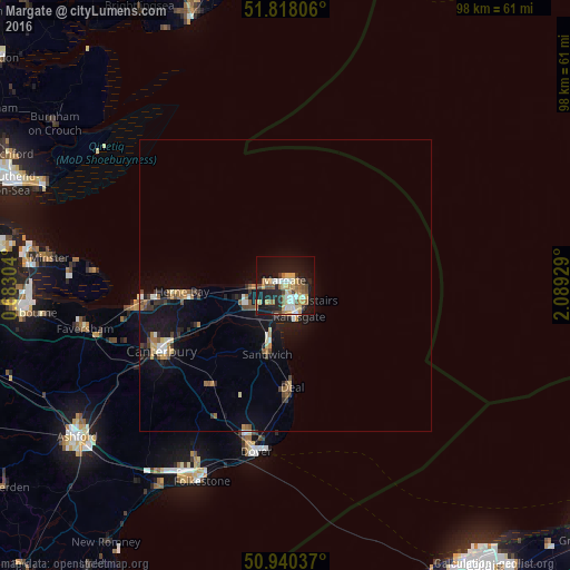

Analysis of Margate night lights 2016
Square area 10x10 km:
 3.78%
3.78%90-99
6.3%80-89
6.44%70-79
7.14%60-69
5.04%50-59
5.88%40-49
4.06%30-39
2.52%20-29
7.56%10-19
36.27%0-9
14.99%Square area 50x50 km:
0.31%90-99
0.56%80-89
0.47%70-79
0.57%60-69
0.65%50-59
0.56%40-49
0.59%30-39
0.55%20-29
0.76%10-19
4.51%0-9
90.48%Clear (daylight) street map image can be seen on geolist.org.
Map coordinates:
51° 49' 5" North, 0° 40' 58.9" East
51° 22' 52.8" North, 1° 23' 10.2" East
50° 56' 25.3" North, 2° 5' 21.4" East
Some cities around Margate sort by population:
• Saint Peters
2.7 km =1.7 mi,  127°
127°
• Ramsgate
5.5 km =3.4 mi,  156°
156°
• Herne Bay
17.9 km =11.1 mi,  267°
267°
• Deal
17.6 km =10.9 mi,  175°
175°
• Broadstairs
4.4 km =2.7 mi,  123°
123°
• Birchington-on-Sea
5.7 km =3.5 mi,  263°
263°
• Sturry
20.4 km =12.7 mi,  244°
244°
• Westgate on Sea
3.4 km =2.1 mi, 271°
2643044 (p: 60,134)
Sources (retrieved 2019-11-25):
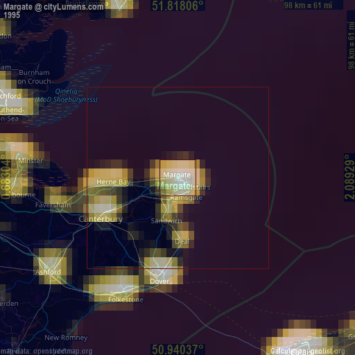
» NASA, Earths city lights 1995
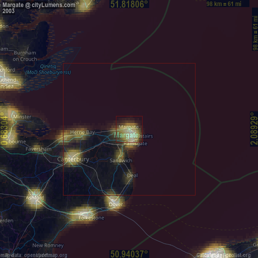
» NASA city lights 2003
» Earth at Night: Flat Maps 2012, 2016