Stratford-upon-Avon night lights from space
Night Light of Stratford-upon-Avon (England) from space (United Kingdom) Src. Average luminocity for 10x10km area is 6.6415% and for 50x50km: 11.6125%.
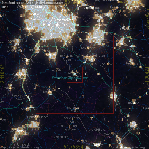
Analysis of Stratford-upon-Avon night lights 2016
Square area 10x10 km:
 0.53%
0.53%90-99
1.06%80-89
0.79%70-79
0.26%60-69
0.93%50-59
1.06%40-49
1.72%30-39
1.06%20-29
2.12%10-19
0.53%0-9
89.95%Square area 50x50 km:
1.72%90-99
2.36%80-89
0.93%70-79
1.17%60-69
1.33%50-59
1.44%40-49
1.49%30-39
1.97%20-29
4.51%10-19
7.86%0-9
75.24%Clear (daylight) street map image can be seen on geolist.org.
Map coordinates:
52° 37' 14.2" North, 2° 24' 37.7" West
52° 11' 30" North, 1° 42' 26.4" West
51° 45' 30.7" North, 1° 0' 15.2" West
Some cities around Stratford-upon-Avon sort by population:
• Royal Leamington Spa
16.5 km =10.3 mi,  50°
50°
• Warwick
13.2 km =8.2 mi,  39°
39°
• Alcester
11.2 km =7 mi,  284°
284°
• Studley
15.3 km =9.5 mi,  304°
304°
• Wellesbourne Mountford
6.7 km =4.2 mi,  89°
89°
• Wellesbourne
8 km =5 mi, 85°
• Bidford-on-Avon
10.7 km =6.6 mi,  256°
256°
• Shipston on Stour
15.6 km =9.7 mi,  159°
159°
2636713 (p: 27,830)
Sources (retrieved 2019-11-25):
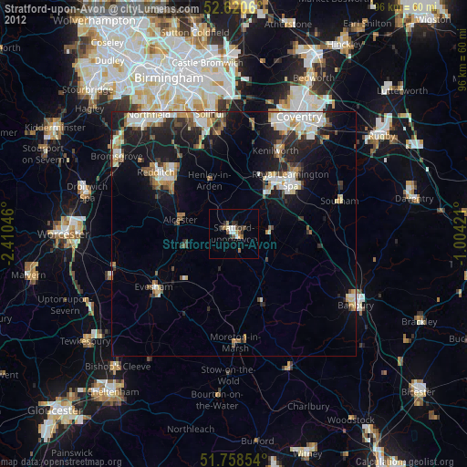
» Earth at Night: Flat Maps 2012, 2016