Warwick night lights from space
Night Light of Warwick (England) from space (United Kingdom) Src. Average luminocity for 10x10km area is 26.9255% and for 50x50km: 21.4248%.
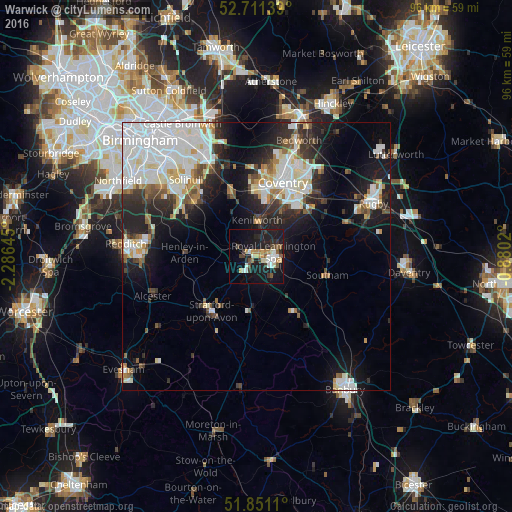
Analysis of Warwick night lights 2016
Square area 10x10 km:
 3.66%
3.66%90-99
4.29%80-89
2.65%70-79
3.66%60-69
2.4%50-59
3.66%40-49
3.28%30-39
3.79%20-29
5.05%10-19
35.35%0-9
32.2%Square area 50x50 km:
6.2%90-99
5.47%80-89
1.53%70-79
1.65%60-69
1.7%50-59
1.8%40-49
1.71%30-39
2.38%20-29
5.51%10-19
10.54%0-9
61.52%Clear (daylight) street map image can be seen on geolist.org.
Map coordinates:
52° 42' 41" North, 2° 17' 11.2" West
52° 16' 60" North, 1° 34' 60" West
51° 51' 4" North, 0° 52' 48.7" West
Some cities around Warwick sort by population:
• Coventry
14.5 km =9 mi,  19°
19°
• Royal Leamington Spa
4.3 km =2.7 mi,  87°
87°
• Stratford-upon-Avon
13.2 km =8.2 mi,  219°
219°
• Kenilworth
7.4 km =4.6 mi,  0°
0°
• Balsall Common
12.9 km =8 mi,  339°
339°
• Southam
13.7 km =8.5 mi,  104°
104°
• Wellesbourne Mountford
10.3 km =6.4 mi,  190°
190°
• Wellesbourne
9.6 km =6 mi,  182°
182°
2634725 (p: 24,040)
Sources (retrieved 2019-11-25):
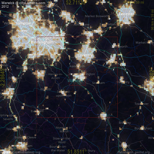
» Earth at Night: Flat Maps 2012, 2016