Royal Leamington Spa night lights from space
Night Light of Royal Leamington Spa (England) from space (United Kingdom) Src. Average luminocity for 10x10km area is 22.7601% and for 50x50km: 18.8638%.
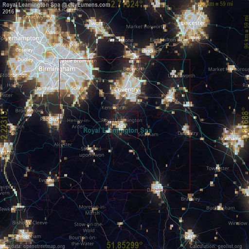
Analysis of Royal Leamington Spa night lights 2016
Square area 10x10 km:
 3.03%
3.03%90-99
2.9%80-89
2.65%70-79
2.78%60-69
2.27%50-59
3.79%40-49
1.01%30-39
2.65%20-29
4.04%10-19
36.87%0-9
38.01%Square area 50x50 km:
4.94%90-99
4.56%80-89
1.44%70-79
1.54%60-69
1.63%50-59
1.69%40-49
1.67%30-39
2.09%20-29
4.58%10-19
11.26%0-9
64.6%Clear (daylight) street map image can be seen on geolist.org.
Map coordinates:
52° 42' 47.7" North, 2° 13' 23.3" West
52° 17' 6.7" North, 1° 31' 12" West
51° 51' 10.8" North, 0° 49' 0.8" West
Some cities around Royal Leamington Spa sort by population:
• Coventry
13.5 km =8.4 mi,  2°
2°
• Warwick
4.3 km =2.7 mi,  267°
267°
• Kenilworth
8.3 km =5.2 mi,  329°
329°
• Brandon
13.7 km =8.5 mi,  36°
36°
• Balsall Common
14.8 km =9.2 mi,  323°
323°
• Southam
9.7 km =6 mi,  112°
112°
• Wellesbourne Mountford
12 km =7.5 mi,  210°
210°
• Wellesbourne
10.9 km =6.8 mi, 206°
2644737 (p: 95,172)
Sources (retrieved 2019-11-25):
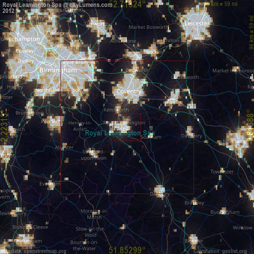
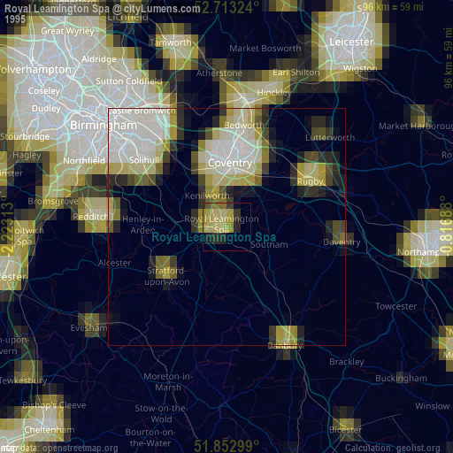
» NASA, Earths city lights 1995
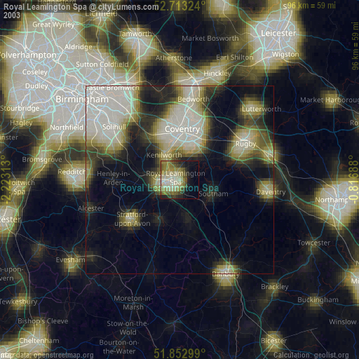
» NASA city lights 2003
» Earth at Night: Flat Maps 2012, 2016