Stourbridge night lights from space
Night Light of Stourbridge (England) from space (United Kingdom) Src. Average luminocity for 10x10km area is 51.9672% and for 50x50km: 35.026%.
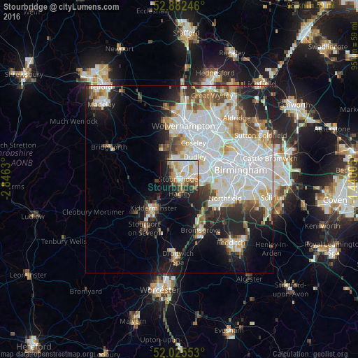
Analysis of Stourbridge night lights 2016
Square area 10x10 km:
 10.61%
90-99
13.51%80-89
6.94%70-79
7.7%60-69
6.94%50-59
4.55%40-49
3.66%30-39
4.55%20-29
13.01%10-19
20.33%0-9
8.21%Square area 50x50 km:
11.58%90-99
9.59%80-89
2.89%70-79
2.96%60-69
3.08%50-59
2.77%40-49
3.26%30-39
2.89%20-29
5.73%10-19
9.99%0-9
45.25%Clear (daylight) street map image can be seen on geolist.org.
Map coordinates:
52° 52' 56.9" North, 2° 50' 46.7" West
52° 27' 21.9" North, 2° 8' 35.4" West
52° 1' 31.9" North, 1° 26' 24.2" West
Some cities around Stourbridge sort by population:
• Dudley
6.3 km =3.9 mi,  39°
39°
• Halesowen
6.4 km =4 mi,  97°
97°
• Tipton
9.6 km =6 mi,  32°
32°
• Brierley Hill
3.2 km =2 mi, 27°
• Kingswinford
4.9 km =3 mi,  339°
339°
• Wombourn
9 km =5.6 mi, 342°
• Hagley
3.5 km =2.2 mi,  163°
163°
• Cradley Heath
4.5 km =2.8 mi,  66°
66°
2636769 (p: 56,284)
Sources (retrieved 2019-11-25):
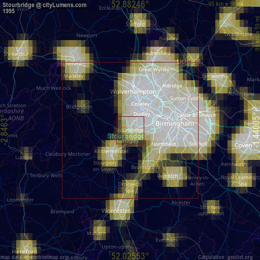
» NASA, Earths city lights 1995
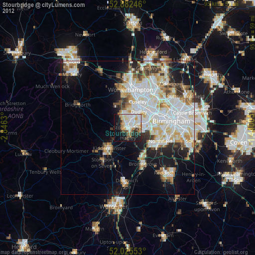
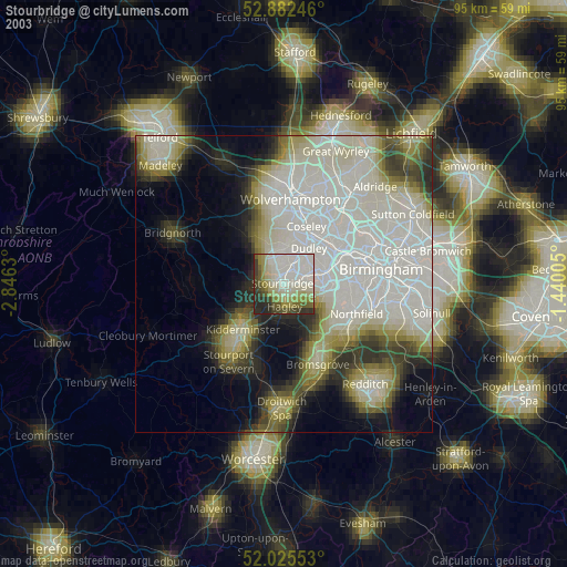
» NASA city lights 2003
» Earth at Night: Flat Maps 2012, 2016