Brierley Hill night lights from space
Night Light of Brierley Hill (England) from space (United Kingdom) Src. Average luminocity for 10x10km area is 75.8548% and for 50x50km: 37.7092%.
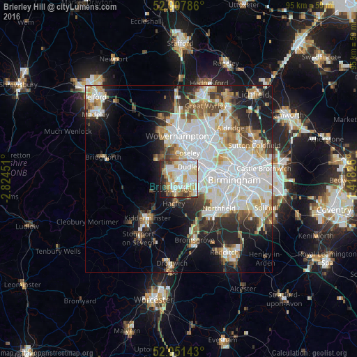
Analysis of Brierley Hill night lights 2016
Square area 10x10 km:
 21.72%
90-99
25%80-89
11.49%70-79
9.09%60-69
7.45%50-59
4.67%40-49
4.8%30-39
5.81%20-29
5.43%10-19
4.55%0-9
0%Square area 50x50 km:
12.09%90-99
10.3%80-89
3.3%70-79
3.44%60-69
3.46%50-59
2.97%40-49
3.5%30-39
3.21%20-29
6.21%10-19
11.02%0-9
40.5%Clear (daylight) street map image can be seen on geolist.org.
Map coordinates:
52° 54' 28.3" North, 2° 49' 28.2" West
52° 28' 54.2" North, 2° 7' 17" West
52° 3' 5.1" North, 1° 25' 5.7" West
Some cities around Brierley Hill sort by population:
• Dudley
3.3 km =2.1 mi,  51°
51°
• Stourbridge
3.2 km =2 mi,  207°
207°
• Halesowen
6.1 km =3.8 mi,  127°
127°
• Tipton
6.4 km =4 mi,  34°
34°
• Kingswinford
3.7 km =2.3 mi,  298°
298°
• Wombourn
7.1 km =4.4 mi,  323°
323°
• Hagley
6.2 km =3.9 mi,  184°
184°
• Cradley Heath
2.9 km =1.8 mi,  111°
111°
2654724 (p: 28,000)
Sources (retrieved 2019-11-25):
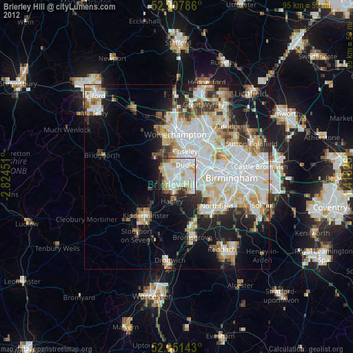
» Earth at Night: Flat Maps 2012, 2016