Grays night lights from space
Night Light of Grays (England) from space (United Kingdom) Src. Average luminocity for 10x10km area is 80.6096% and for 50x50km: 44.1815%.
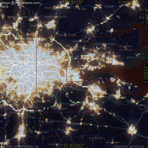
Analysis of Grays night lights 2016
Square area 10x10 km:
 26.47%
90-99
26.34%80-89
9.76%70-79
6.95%60-69
11.1%50-59
3.88%40-49
6.28%30-39
6.55%20-29
2.67%10-19
0%0-9
0%Square area 50x50 km:
11.83%90-99
9.53%80-89
4.96%70-79
4.69%60-69
4.78%50-59
4.59%40-49
4.96%30-39
6.1%20-29
10.17%10-19
14.89%0-9
23.49%Clear (daylight) street map image can be seen on geolist.org.
Map coordinates:
51° 54' 41.4" North, 0° 22' 40.5" West
51° 28' 32.4" North, 0° 19' 30.8" East
51° 2' 8.2" North, 1° 1' 42" East
Some cities around Grays sort by population:
• Gravesend
4.9 km =3 mi,  139°
139°
• South Ockendon
4.6 km =2.9 mi,  321°
321°
• Swanscombe
3.3 km =2.1 mi,  198°
198°
• Chafford Hundred
2.6 km =1.6 mi,  305°
305°
• Tilbury
2.7 km =1.7 mi,  122°
122°
• Chadwell St Mary
2.7 km =1.7 mi,  76°
76°
• West Thurrock
3.4 km =2.1 mi,  274°
274°
• Stone
5.1 km =3.2 mi,  236°
236°
2648182 (p: 89,755)
Sources (retrieved 2019-11-25):
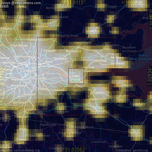
» NASA, Earths city lights 1995
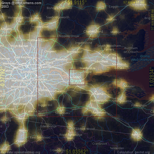
» NASA city lights 2003
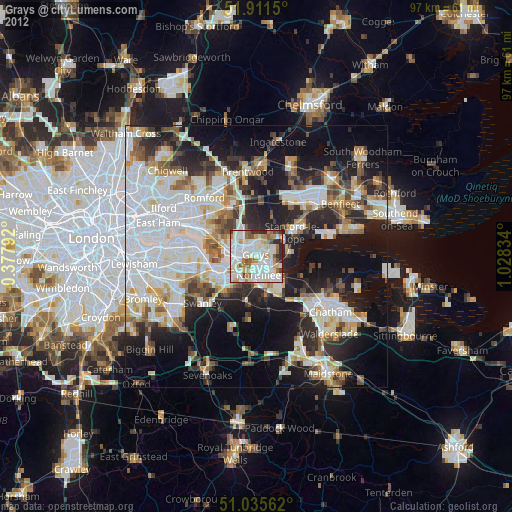
» Earth at Night: Flat Maps 2012, 2016