Solihull night lights from space
Night Light of Solihull (England) from space (United Kingdom) Src. Average luminocity for 10x10km area is 73.6944% and for 50x50km: 41.2581%.
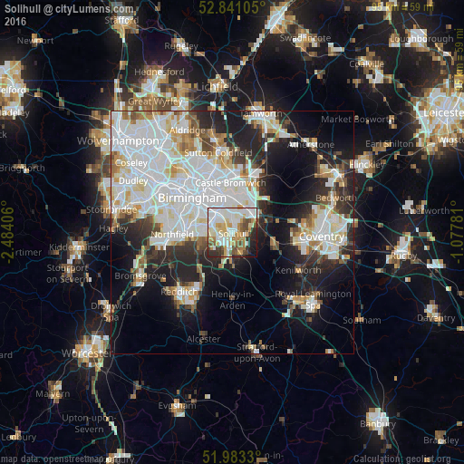
Analysis of Solihull night lights 2016
Square area 10x10 km:
 21.84%
90-99
23.36%80-89
7.95%70-79
10.35%60-69
6.44%50-59
5.3%40-49
8.21%30-39
4.8%20-29
7.32%10-19
3.91%0-9
0.51%Square area 50x50 km:
13.53%90-99
11.46%80-89
3.54%70-79
3.27%60-69
3.36%50-59
2.79%40-49
3.03%30-39
3.68%20-29
8.83%10-19
13.61%0-9
32.92%Clear (daylight) street map image can be seen on geolist.org.
Map coordinates:
52° 50' 27.8" North, 2° 29' 2.6" West
52° 24' 51.3" North, 1° 46' 51.4" West
51° 58' 59.9" North, 1° 4' 40.1" West
Some cities around Solihull sort by population:
• Birmingham
11 km =6.8 mi,  312°
312°
• Washwood Heath
10.1 km =6.3 mi,  342°
342°
• Shirley
2.6 km =1.6 mi,  261°
261°
• Acocks Green
4.7 km =2.9 mi,  328°
328°
• Chelmsley Wood
7.7 km =4.8 mi,  22°
22°
• Knowle
4.7 km =2.9 mi,  136°
136°
• Dorridge
5 km =3.1 mi,  157°
157°
• Balsall Common
9.2 km =5.7 mi,  105°
105°
2637546 (p: 96,267)
Sources (retrieved 2019-11-25):
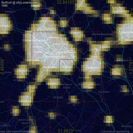
» NASA, Earths city lights 1995
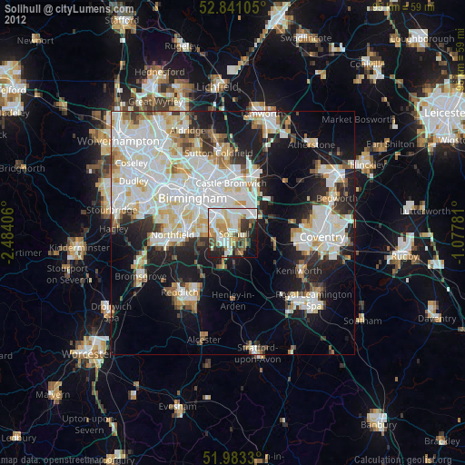
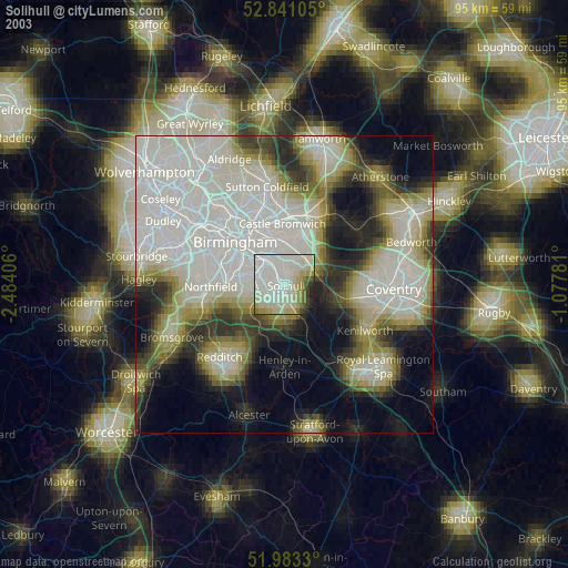
» NASA city lights 2003
» Earth at Night: Flat Maps 2012, 2016