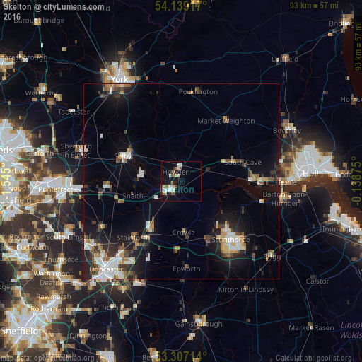
Skelton night lights from space
Night Light of Skelton (England) from space (United Kingdom) Src. Average luminocity for 10x10km area is 16% and for 50x50km: 10.6194%.
Analysis of Skelton night lights 2016
Square area 10x10 km:
 2.65%
2.65%90-99
3.91%80-89
1.01%70-79
0.51%60-69
2.02%50-59
2.78%40-49
2.4%30-39
1.14%20-29
1.01%10-19
14.14%0-9
68.43%Square area 50x50 km:
1.47%90-99
1.87%80-89
0.91%70-79
1%60-69
1.02%50-59
1.59%40-49
1.22%30-39
1.77%20-29
2.79%10-19
7.92%0-9
78.44%Clear (daylight) street map image can be seen on geolist.org.
Map coordinates:
54° 8' 21" North, 1° 32' 42" West
53° 43' 30.8" North, 0° 50' 30.7" West
53° 18' 25.7" North, 0° 8' 19.5" West
Some cities around Skelton sort by population:
• Scunthorpe
20.4 km =12.7 mi,  142°
142°
• Selby
16.1 km =10 mi,  293°
293°
• Goole
3.4 km =2.1 mi,  223°
223°
• Brough
17.7 km =11 mi,  88°
88°
• Thorne
15 km =9.3 mi,  212°
212°
• Scalby
9.4 km =5.8 mi,  60°
60°
• Stainforth
18.8 km =11.7 mi, 222°
• Market Weighton
19.2 km =11.9 mi,  37°
37°
2637748 (p: 6,538)
Sources (retrieved 2019-11-25):
» Earth at Night: Flat Maps 2012, 2016