Stainforth night lights from space
Night Light of Stainforth (England) from space (United Kingdom) Src. Average luminocity for 10x10km area is 21.1717% and for 50x50km: 21.1532%.
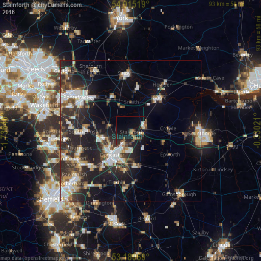
Analysis of Stainforth night lights 2016
Square area 10x10 km:
 2.27%
2.27%90-99
1.26%80-89
2.53%70-79
1.14%60-69
3.41%50-59
5.3%40-49
1.77%30-39
2.65%20-29
7.83%10-19
30.56%0-9
41.29%Square area 50x50 km:
3.62%90-99
3.75%80-89
2.09%70-79
2.18%60-69
2.04%50-59
2.59%40-49
2.75%30-39
4.27%20-29
8.28%10-19
12.63%0-9
55.8%Clear (daylight) street map image can be seen on geolist.org.
Map coordinates:
54° 0' 54.7" North, 1° 44' 11.3" West
53° 36' 0" North, 1° 1' 60" West
53° 10' 50.5" North, 0° 19' 48.8" West
Some cities around Stainforth sort by population:
• Doncaster
10.7 km =6.6 mi,  216°
216°
• Bentley
10.7 km =6.6 mi,  226°
226°
• Adwick le Street
10.5 km =6.5 mi,  251°
251°
• Thorne
4.8 km =3 mi,  74°
74°
• Kirk Sandall
4.8 km =3 mi,  209°
209°
• Armthorpe
7.3 km =4.5 mi,  190°
190°
• Carcroft
9.6 km =6 mi,  258°
258°
• Askern
8.1 km =5 mi,  283°
283°
2637124 (p: 6,483)
Sources (retrieved 2019-11-25):
» Earth at Night: Flat Maps 2012, 2016