Goole night lights from space
Night Light of Goole (England) from space (United Kingdom) Src. Average luminocity for 10x10km area is 16.3687% and for 50x50km: 11.5766%.
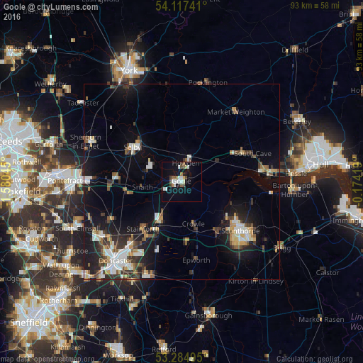
Analysis of Goole night lights 2016
Square area 10x10 km:
 3.03%
3.03%90-99
3.03%80-89
1.01%70-79
0.51%60-69
2.02%50-59
2.53%40-49
2.02%30-39
1.01%20-29
1.26%10-19
15.03%0-9
68.56%Square area 50x50 km:
1.75%90-99
2.01%80-89
1.05%70-79
1.1%60-69
1.02%50-59
1.66%40-49
1.26%30-39
2.01%20-29
2.99%10-19
9.13%0-9
76%Clear (daylight) street map image can be seen on geolist.org.
Map coordinates:
54° 7' 2.7" North, 1° 34' 49.6" West
53° 42' 11.7" North, 0° 52' 38.4" West
53° 17' 5.8" North, 0° 10' 27.1" West
Some cities around Goole sort by population:
• Scunthorpe
20.2 km =12.6 mi,  133°
133°
• Selby
15.3 km =9.5 mi,  305°
305°
• Brough
20.3 km =12.6 mi,  82°
82°
• Thorne
11.7 km =7.3 mi,  208°
208°
• Kirk Sandall
20.1 km =12.5 mi,  218°
218°
• Scalby
12.7 km =7.9 mi,  56°
56°
• Skelton
3.4 km =2.1 mi,  43°
43°
• Stainforth
15.4 km =9.6 mi, 221°
2648319 (p: 20,810)
Sources (retrieved 2019-11-25):
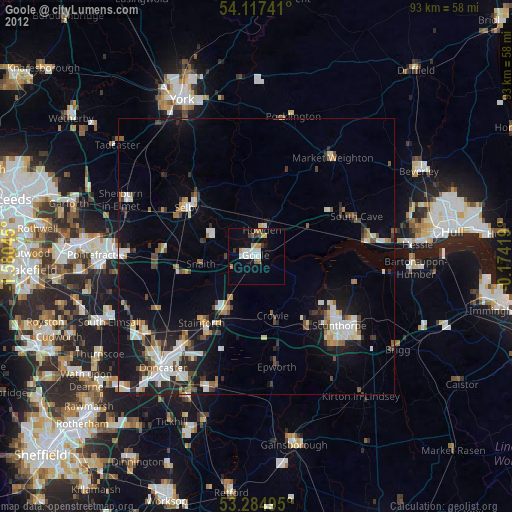
» Earth at Night: Flat Maps 2012, 2016