Skegness night lights from space
Night Light of Skegness (England) from space (United Kingdom) Src. Average luminocity for 10x10km area is 11.2715% and for 50x50km: 1.7527%.
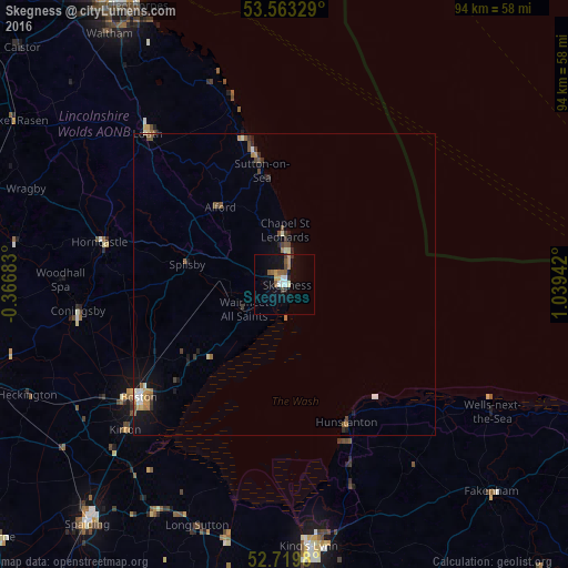
Analysis of Skegness night lights 2016
Square area 10x10 km:
 0.88%
0.88%90-99
2.02%80-89
0.25%70-79
2.15%60-69
1.01%50-59
3.28%40-49
1.52%30-39
0.38%20-29
1.14%10-19
7.45%0-9
79.92%Square area 50x50 km:
0.12%90-99
0.28%80-89
0.12%70-79
0.25%60-69
0.25%50-59
0.37%40-49
0.33%30-39
0.21%20-29
0.25%10-19
1.03%0-9
96.8%Clear (daylight) street map image can be seen on geolist.org.
Map coordinates:
53° 33' 47.8" North, 0° 22' 0.6" West
53° 8' 37" North, 0° 20' 10.7" East
52° 43' 11.3" North, 1° 2' 21.9" East
Some cities around Skegness sort by population:
• King's Lynn
43.8 km =27.2 mi,  174°
174°
• Boston
30.6 km =19 mi,  232°
232°
• Louth
33.6 km =20.9 mi,  317°
317°
• Mablethorpe
22.5 km =14 mi,  347°
347°
• Hunstanton
24.1 km =15 mi,  153°
153°
• Holbeach
43.5 km =27 mi,  209°
209°
• Horncastle
31.1 km =19.3 mi,  283°
283°
• Burwell
26.1 km =16.2 mi,  309°
309°
2637762 (p: 24,876)
Sources (retrieved 2019-11-25):
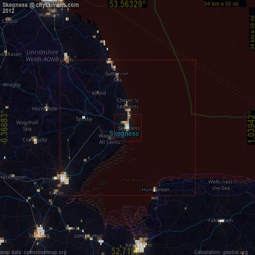
» Earth at Night: Flat Maps 2012, 2016