Horncastle night lights from space
Night Light of Horncastle (England) from space (United Kingdom) Src. Average luminocity for 10x10km area is 2.4331% and for 50x50km: 1.4877%.
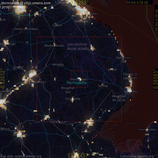
Analysis of Horncastle night lights 2016
Square area 10x10 km:
 0.13%
0.13%90-99
0.38%80-89
0.51%70-79
0.51%60-69
0.51%50-59
0.13%40-49
0.38%30-39
0%20-29
1.01%10-19
0%0-9
96.46%Square area 50x50 km:
0.07%90-99
0.22%80-89
0.15%70-79
0.28%60-69
0.2%50-59
0.2%40-49
0.31%30-39
0.11%20-29
0.24%10-19
0.75%0-9
97.48%Clear (daylight) street map image can be seen on geolist.org.
Map coordinates:
53° 37' 36.5" North, 0° 49' 13.2" West
53° 12' 27.9" North, 0° 7' 1.9" West
52° 47' 4.5" North, 0° 35' 9.3" East
Some cities around Horncastle sort by population:
• Boston
26.4 km =16.4 mi,  166°
166°
• Louth
19.2 km =11.9 mi,  22°
22°
• Washingborough
23.9 km =14.9 mi,  274°
274°
• Heighington
22.8 km =14.2 mi, 271°
• Burwell
13.9 km =8.6 mi,  46°
46°
• Bracebridge Heath
27.8 km =17.3 mi, 267°
• Ruskington
25.5 km =15.8 mi,  224°
224°
• Dunholme
25.4 km =15.8 mi,  294°
294°
2646595 (p: 6,815)
Sources (retrieved 2019-11-25):
» Earth at Night: Flat Maps 2012, 2016