Burwell night lights from space
Night Light of Burwell (England) from space (United Kingdom) Src. Average luminocity for 10x10km area is 0.0745% and for 50x50km: 1.6833%.
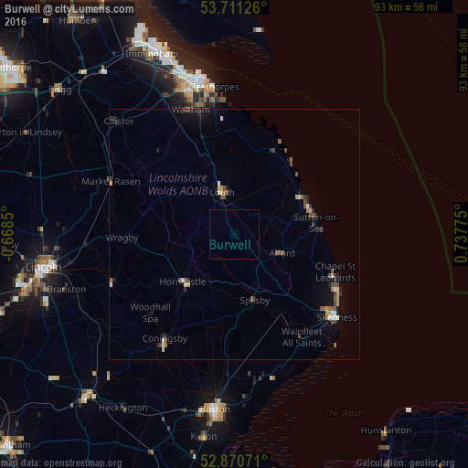
Analysis of Burwell night lights 2016
Square area 10x10 km:
 0%
0%90-99
0%80-89
0%70-79
0%60-69
0%50-59
0%40-49
0%30-39
0%20-29
0%10-19
0%0-9
100%Square area 50x50 km:
0.08%90-99
0.24%80-89
0.13%70-79
0.21%60-69
0.22%50-59
0.32%40-49
0.42%30-39
0.17%20-29
0.46%10-19
0.83%0-9
96.93%Clear (daylight) street map image can be seen on geolist.org.
Map coordinates:
53° 42' 40.5" North, 0° 40' 6.6" West
53° 17' 35" North, 0° 2' 4.7" East
52° 52' 14.6" North, 0° 44' 15.9" East
Some cities around Burwell sort by population:
• Grimsby
31.1 km =19.3 mi,  346°
346°
• Cleethorpes
30.1 km =18.7 mi, 351°
• Skegness
26.1 km =16.2 mi,  129°
129°
• Louth
8.6 km =5.3 mi,  342°
342°
• Mablethorpe
16 km =9.9 mi,  70°
70°
• Humberston
26.7 km =16.6 mi, 351°
• Horncastle
13.9 km =8.6 mi,  226°
226°
• Waltham
26.4 km =16.4 mi, 340°
2654194 (p: 5,963)
Sources (retrieved 2019-11-25):
» Earth at Night: Flat Maps 2012, 2016