Shotts night lights from space
Night Light of Shotts (Scotland) from space (United Kingdom) Src. Average luminocity for 10x10km area is 10.5837% and for 50x50km: 23.6673%.
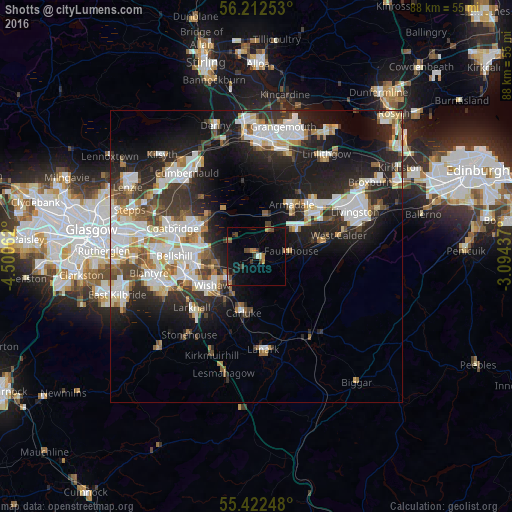
Analysis of Shotts night lights 2016
Square area 10x10 km:
 0.12%
0.12%90-99
0.84%80-89
0.24%70-79
1.44%60-69
1.91%50-59
1.56%40-49
3.59%30-39
1.32%20-29
1.67%10-19
6.7%0-9
80.62%Square area 50x50 km:
5.33%90-99
5.61%80-89
1.77%70-79
2.37%60-69
2.42%50-59
2.26%40-49
2.52%30-39
3.31%20-29
7.83%10-19
12.95%0-9
53.63%Clear (daylight) street map image can be seen on geolist.org.
Map coordinates:
56° 12' 45.1" North, 4° 30' 2.2" West
55° 49' 10.2" North, 3° 47' 51" West
55° 25' 20.9" North, 3° 5' 39.7" West
Some cities around Shotts sort by population:
• Wishaw
9.5 km =5.9 mi,  231°
231°
• Carluke
9.5 km =5.9 mi,  192°
192°
• Armadale
9.3 km =5.8 mi,  40°
40°
• Whitburn
8.8 km =5.5 mi,  53°
53°
• Chapelhall
9.8 km =6.1 mi,  285°
285°
• Newarthill
8.7 km =5.4 mi,  266°
266°
• Newmains
6.2 km =3.9 mi, 231°
• Holytown
10.9 km =6.8 mi, 270°
8015341 (p: 8,235)
Sources (retrieved 2019-11-25):
» Earth at Night: Flat Maps 2012, 2016