Wishaw night lights from space
Night Light of Wishaw (Scotland) from space (United Kingdom) Src. Average luminocity for 10x10km area is 45.695% and for 50x50km: 23.9216%.
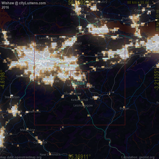
Analysis of Wishaw night lights 2016
Square area 10x10 km:
 8.49%
8.49%90-99
11.48%80-89
1.91%70-79
6.22%60-69
6.7%50-59
3.83%40-49
6.7%30-39
9.81%20-29
13.4%10-19
23.09%0-9
8.37%Square area 50x50 km:
6.35%90-99
5.93%80-89
1.53%70-79
2.22%60-69
2.43%50-59
2.18%40-49
2.66%30-39
3.25%20-29
6.61%10-19
10.35%0-9
56.47%Clear (daylight) street map image can be seen on geolist.org.
Map coordinates:
56° 9' 36.8" North, 4° 37' 11.3" West
55° 46' 0" North, 3° 55' 0" West
55° 22' 8.8" North, 3° 12' 48.8" West
Some cities around Wishaw sort by population:
• Motherwell
5.3 km =3.3 mi,  298°
298°
• Dalserf
3.7 km =2.3 mi,  180°
180°
• Larkhall
4.9 km =3 mi,  220°
220°
• Carluke
6.4 km =4 mi,  122°
122°
• Newarthill
5.5 km =3.4 mi,  346°
346°
• Newmains
3.3 km =2.1 mi,  51°
51°
• New Stevenston
6.6 km =4.1 mi,  327°
327°
• Holytown
6.9 km =4.3 mi, 329°
2633765 (p: 30,510)
Sources (retrieved 2019-11-25):
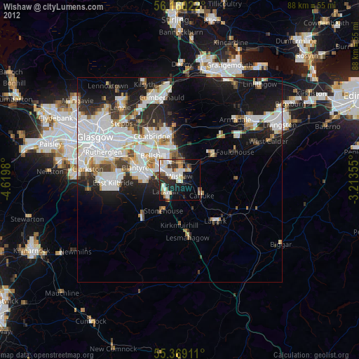
» Earth at Night: Flat Maps 2012, 2016