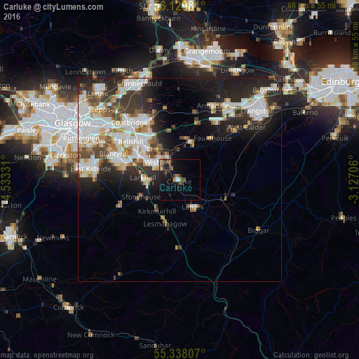
Carluke night lights from space
Night Light of Carluke (Scotland) from space (United Kingdom) Src. Average luminocity for 10x10km area is 12.2213% and for 50x50km: 19.6446%.
Analysis of Carluke night lights 2016
Square area 10x10 km:
 0.48%
0.48%90-99
0.96%80-89
0%70-79
1.44%60-69
2.87%50-59
1.67%40-49
2.51%30-39
2.27%20-29
4.9%10-19
12.44%0-9
70.45%Square area 50x50 km:
4.76%90-99
5.02%80-89
1.38%70-79
1.96%60-69
1.91%50-59
1.88%40-49
2.29%30-39
2.74%20-29
5.67%10-19
8.17%0-9
64.23%Clear (daylight) street map image can be seen on geolist.org.
Map coordinates:
56° 7' 47.3" North, 4° 31' 59.9" West
55° 44' 9.4" North, 3° 49' 48.7" West
55° 20' 17.1" North, 3° 7' 37.4" West
Some cities around Carluke sort by population:
• Wishaw
6.4 km =4 mi,  302°
302°
• Dalserf
5.4 km =3.4 mi,  266°
266°
• Larkhall
8.5 km =5.3 mi, 268°
• Lanark
7.6 km =4.7 mi,  156°
156°
• Shotts
9.5 km =5.9 mi,  12°
12°
• Newarthill
11.1 km =6.9 mi,  322°
322°
• Newmains
6.1 km =3.8 mi,  333°
333°
• Stonehouse
10.9 km =6.8 mi,  244°
244°
2653756 (p: 13,370)
Sources (retrieved 2019-11-25):
» Earth at Night: Flat Maps 2012, 2016