Chapeltown night lights from space
Night Light of Chapeltown (England) from space (United Kingdom) Src. Average luminocity for 10x10km area is 44.8003% and for 50x50km: 30.0368%.
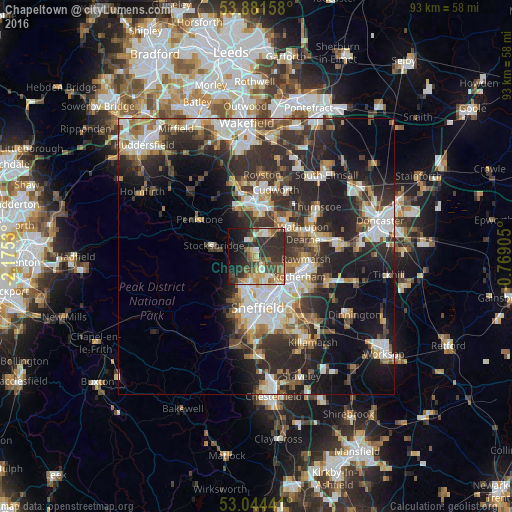
Analysis of Chapeltown night lights 2016
Square area 10x10 km:
 3.97%
3.97%90-99
5.29%80-89
7.67%70-79
6.48%60-69
5.42%50-59
7.94%40-49
8.6%30-39
13.1%20-29
23.41%10-19
14.68%0-9
3.44%Square area 50x50 km:
5.39%90-99
5.94%80-89
3.01%70-79
3.25%60-69
3.39%50-59
3.77%40-49
3.96%30-39
6.39%20-29
12.45%10-19
13.63%0-9
38.81%Clear (daylight) street map image can be seen on geolist.org.
Map coordinates:
53° 52' 53.7" North, 2° 10' 31.1" West
53° 27' 54.2" North, 1° 28' 19.8" West
53° 2' 39.9" North, 0° 46' 8.6" West
Some cities around Chapeltown sort by population:
• Sheffield
9.1 km =5.7 mi,  177°
177°
• Rotherham
8.6 km =5.3 mi,  116°
116°
• Burngreave
8.1 km =5 mi,  173°
173°
• Rawmarsh
8.5 km =5.3 mi,  93°
93°
• Wath upon Dearne
9.4 km =5.8 mi,  63°
63°
• Hoyland Nether
4.2 km =2.6 mi,  20°
20°
• Wombwell
8 km =5 mi,  38°
38°
• Stocksbridge
8.3 km =5.2 mi,  283°
283°
2653353 (p: 23,056)
Sources (retrieved 2019-11-25):
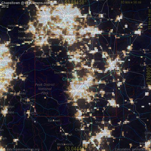
» Earth at Night: Flat Maps 2012, 2016