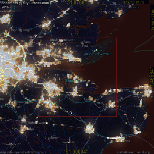
Sheerness night lights from space
Night Light of Sheerness (England) from space (United Kingdom) Src. Average luminocity for 10x10km area is 24.1217% and for 50x50km: 18.7208%.
Analysis of Sheerness night lights 2016
Square area 10x10 km:
 3.48%
3.48%90-99
2.41%80-89
0.27%70-79
4.81%60-69
3.74%50-59
2.41%40-49
2.94%30-39
1.07%20-29
9.36%10-19
40.51%0-9
29.01%Square area 50x50 km:
2.16%90-99
3.08%80-89
1.86%70-79
2.46%60-69
2.51%50-59
1.98%40-49
2.86%30-39
3.94%20-29
7.14%10-19
15.31%0-9
56.69%Clear (daylight) street map image can be seen on geolist.org.
Map coordinates:
51° 52' 35.8" North, 0° 3' 33.8" East
51° 26' 25.5" North, 0° 45' 45.1" East
51° 0' 0.1" North, 1° 27' 56.3" East
Some cities around Sheerness sort by population:
• Southend-on-Sea
11.3 km =7 mi,  342°
342°
• Gillingham
15.9 km =9.9 mi,  248°
248°
• Sittingbourne
11.2 km =7 mi,  190°
190°
• Canvey Island
15.5 km =9.6 mi,  305°
305°
• Rochford
16.2 km =10.1 mi,  346°
346°
• Rainham
13.7 km =8.5 mi,  231°
231°
• Great Wakering
12.8 km =8 mi,  12°
12°
• Hoo
14 km =8.7 mi,  260°
260°
2638081 (p: 11,938)
Sources (retrieved 2019-11-25):
» Earth at Night: Flat Maps 2012, 2016