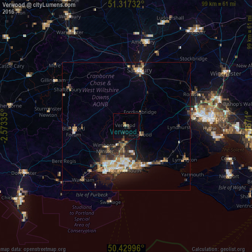
Verwood night lights from space
Night Light of Verwood (England) from space (United Kingdom) Src. Average luminocity for 10x10km area is 5.1583% and for 50x50km: 7.2232%.
Analysis of Verwood night lights 2016
Square area 10x10 km:
 0%
0%90-99
0%80-89
0.56%70-79
0.56%60-69
0.56%50-59
0%40-49
2.24%30-39
0.14%20-29
1.68%10-19
2.38%0-9
91.88%Square area 50x50 km:
0.62%90-99
1.28%80-89
0.72%70-79
0.97%60-69
1.12%50-59
1.06%40-49
1.03%30-39
1.12%20-29
2.39%10-19
4.4%0-9
85.3%Clear (daylight) street map image can be seen on geolist.org.
Map coordinates:
51° 19' 2.4" North, 2° 34' 24.1" West
50° 52' 32.7" North, 1° 52' 12.8" West
50° 25' 47.9" North, 1° 10' 1.6" West
Some cities around Verwood sort by population:
• Christchurch
16.8 km =10.4 mi,  158°
158°
• Ferndown
7.9 km =4.9 mi,  195°
195°
• Wimborne Minster
13 km =8.1 mi,  217°
217°
• Canford Heath
15.5 km =9.6 mi,  206°
206°
• Ringwood
6.6 km =4.1 mi,  120°
120°
• Broadstone
15.8 km =9.8 mi, 213°
• Fordingbridge
8 km =5 mi,  44°
44°
• St Leonards
5.3 km =3.3 mi, 159°
2634975 (p: 13,360)
Sources (retrieved 2019-11-25):
» Earth at Night: Flat Maps 2012, 2016