Eastbourne night lights from space
Night Light of Eastbourne (England) from space (United Kingdom) Src. Average luminocity for 10x10km area is 19.8543% and for 50x50km: 3.322%.
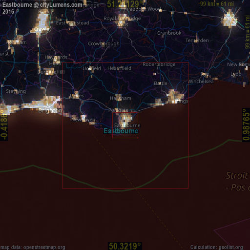

Analysis of Eastbourne night lights 2016
Square area 10x10 km:
 0.7%
0.7%90-99
1.82%80-89
4.2%70-79
1.96%60-69
3.08%50-59
3.08%40-49
5.18%30-39
5.46%20-29
3.64%10-19
10.5%0-9
60.36%Square area 50x50 km:
0.17%90-99
0.24%80-89
0.26%70-79
0.37%60-69
0.42%50-59
0.69%40-49
0.92%30-39
0.94%20-29
0.67%10-19
1.9%0-9
93.43%Clear (daylight) street map image can be seen on geolist.org.
Map coordinates:
51° 12' 40.6" North, 0° 25' 7" West
50° 46' 7.4" North, 0° 17' 4.3" East
50° 19' 18.8" North, 0° 59' 15.5" East
Some cities around Eastbourne sort by population:
• Hastings
22.4 km =13.9 mi,  64°
64°
• Bexhill-on-Sea
15.9 km =9.9 mi, 55°
• Seaford
12.8 km =8 mi,  271°
271°
• Hailsham
10.6 km =6.6 mi,  349°
349°
• Peacehaven
20.6 km =12.8 mi,  277°
277°
• Newhaven
16.4 km =10.2 mi, 281°
• Saint Leonards-on-Sea
20.7 km =12.9 mi, 62°
• Battle
21.7 km =13.5 mi,  40°
40°
2650497 (p: 118,219)
Sources (retrieved 2019-11-25):
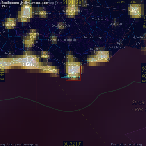
» NASA, Earths city lights 1995
» NASA city lights 2003
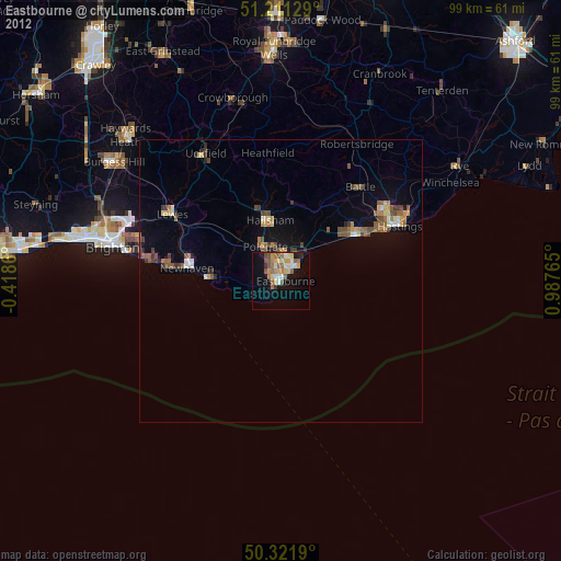
» Earth at Night: Flat Maps 2012, 2016