Bexhill-on-Sea night lights from space
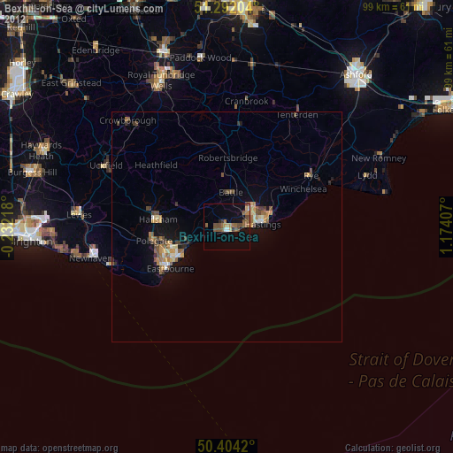
Night Light of Bexhill-on-Sea (England) from space (United Kingdom) Src. Average luminocity for 10x10km area is 11.3992% and for 50x50km: 2.5239%.

Analysis of Bexhill-on-Sea night lights 2016
Square area 10x10 km:
 0.7%
0.7%90-99
0.42%80-89
0.56%70-79
1.68%60-69
0.14%50-59
1.96%40-49
5.18%30-39
2.66%20-29
4.2%10-19
7.7%0-9
74.79%Square area 50x50 km:
0.1%90-99
0.15%80-89
0.23%70-79
0.31%60-69
0.4%50-59
0.48%40-49
0.72%30-39
0.77%20-29
0.5%10-19
1.54%0-9
94.81%Clear (daylight) street map image can be seen on geolist.org.
Map coordinates:
51° 17' 31.3" North, 0° 13' 55.8" West
50° 51' 0.8" North, 0° 28' 15.4" East
50° 24' 15.1" North, 1° 10' 26.7" East
Some cities around Bexhill-on-Sea sort by population:
• Hastings
7.2 km =4.5 mi,  85°
85°
• Eastbourne
15.9 km =9.9 mi,  235°
235°
• Seaford
27.3 km =17 mi,  251°
251°
• Hailsham
15 km =9.3 mi,  275°
275°
• Uckfield
29.4 km =18.3 mi,  296°
296°
• Saint Leonards-on-Sea
5.2 km =3.2 mi,  83°
83°
• Tenterden
28.6 km =17.8 mi,  32°
32°
• Battle
7.5 km =4.7 mi,  7°
7°
2655777 (p: 40,478)
Sources (retrieved 2019-11-25):
» Earth at Night: Flat Maps 2012, 2016