Rugby night lights from space
Night Light of Rugby (England) from space (United Kingdom) Src. Average luminocity for 10x10km area is 30.2828% and for 50x50km: 15.9038%.
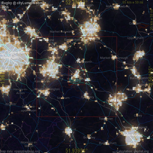
Analysis of Rugby night lights 2016
Square area 10x10 km:
 4.55%
4.55%90-99
6.06%80-89
2.27%70-79
1.89%60-69
4.17%50-59
3.79%40-49
4.29%30-39
2.15%20-29
7.32%10-19
43.43%0-9
20.08%Square area 50x50 km:
2.49%90-99
2.91%80-89
1.47%70-79
1.51%60-69
1.85%50-59
2.02%40-49
2.1%30-39
1.96%20-29
4.7%10-19
13.62%0-9
65.37%Clear (daylight) street map image can be seen on geolist.org.
Map coordinates:
52° 47' 53.3" North, 1° 58' 2.3" West
52° 22' 15.3" North, 1° 15' 51" West
51° 56' 22.3" North, 0° 33' 39.8" West
Some cities around Rugby sort by population:
• Coventry
17.3 km =10.7 mi,  283°
283°
• Royal Leamington Spa
19.8 km =12.3 mi,  241°
241°
• Bedworth
18.4 km =11.4 mi,  310°
310°
• Daventry
14.5 km =9 mi,  150°
150°
• Lutterworth
10.4 km =6.5 mi,  23°
23°
• Broughton Astley
17.7 km =11 mi,  10°
10°
• Brandon
9.3 km =5.8 mi, 279°
• Southam
15.6 km =9.7 mi,  212°
212°
2638978 (p: 73,150)
Sources (retrieved 2019-11-25):
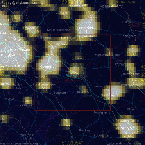
» NASA, Earths city lights 1995
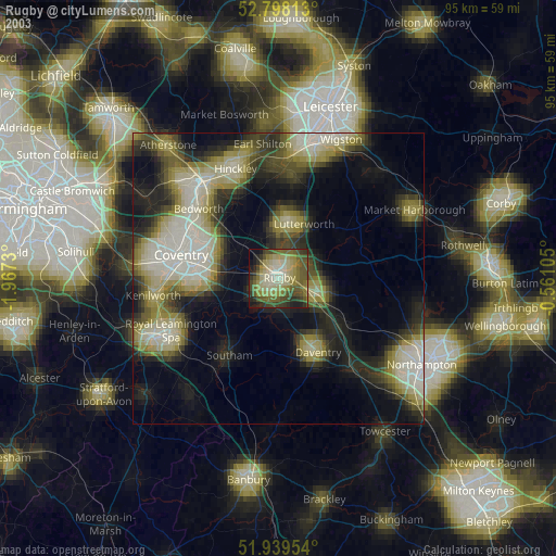
» NASA city lights 2003
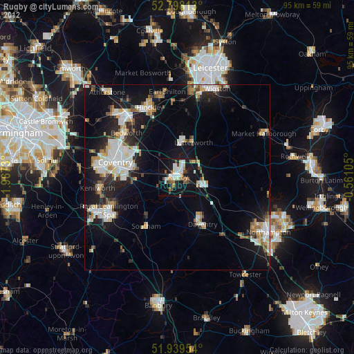
» Earth at Night: Flat Maps 2012, 2016