Daventry night lights from space
Night Light of Daventry (England) from space (United Kingdom) Src. Average luminocity for 10x10km area is 12.1653% and for 50x50km: 12.8177%.
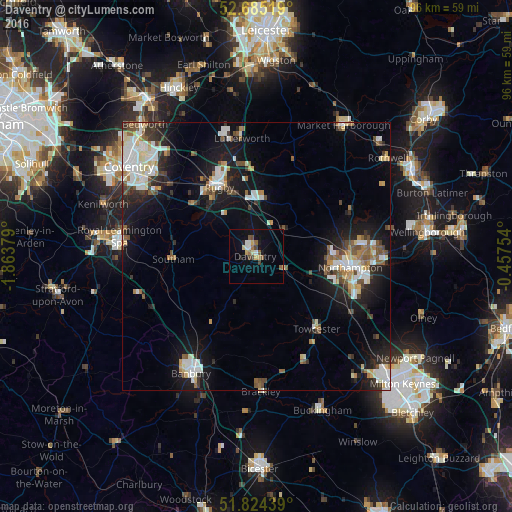
Analysis of Daventry night lights 2016
Square area 10x10 km:
 1.59%
1.59%90-99
1.06%80-89
1.59%70-79
1.85%60-69
1.46%50-59
2.12%40-49
1.85%30-39
0.93%20-29
1.06%10-19
4.5%0-9
82.01%Square area 50x50 km:
2.43%90-99
2.67%80-89
1.13%70-79
0.91%60-69
1.24%50-59
1.83%40-49
1.54%30-39
1.38%20-29
3.03%10-19
9.55%0-9
74.3%Clear (daylight) street map image can be seen on geolist.org.
Map coordinates:
52° 41' 6.7" North, 1° 51' 49.6" West
52° 15' 24.8" North, 1° 9' 38.4" West
51° 49' 27.8" North, 0° 27' 27.1" West
Some cities around Daventry sort by population:
• Northampton
18.9 km =11.7 mi,  92°
92°
• Rugby
14.5 km =9 mi,  330°
330°
• Lutterworth
22.4 km =13.9 mi,  352°
352°
• Towcester
18 km =11.2 mi,  139°
139°
• Brandon
21.6 km =13.4 mi,  311°
311°
• Hardingstone
19.3 km =12 mi,  104°
104°
• Southam
15.5 km =9.6 mi,  268°
268°
• Brixworth
19.2 km =11.9 mi,  65°
65°
2651485 (p: 23,879)
Sources (retrieved 2019-11-25):
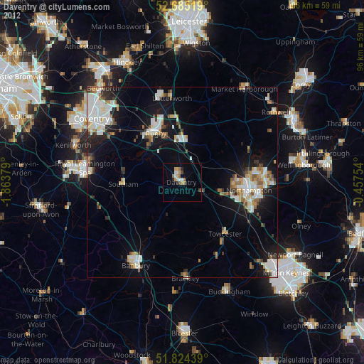
» Earth at Night: Flat Maps 2012, 2016