Coventry night lights from space
Night Light of Coventry (England) from space (United Kingdom) Src. Average luminocity for 10x10km area is 76.6654% and for 50x50km: 27.0727%.
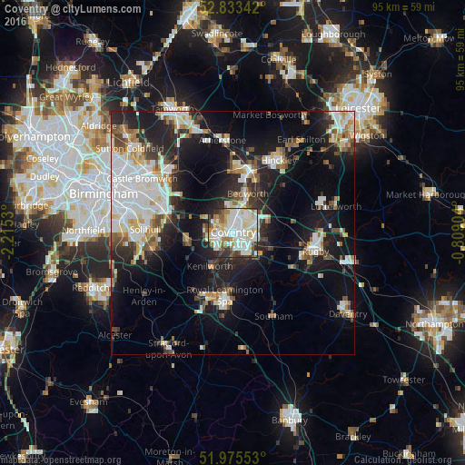
Analysis of Coventry night lights 2016
Square area 10x10 km:
 23.11%
90-99
27.27%80-89
10.73%70-79
6.44%60-69
6.19%50-59
5.68%40-49
3.28%30-39
7.7%20-29
8.46%10-19
1.14%0-9
0%Square area 50x50 km:
6.52%90-99
6.18%80-89
2.27%70-79
2.44%60-69
2.8%50-59
2.48%40-49
2.88%30-39
3.06%20-29
7.37%10-19
16.27%0-9
47.73%Clear (daylight) street map image can be seen on geolist.org.
Map coordinates:
52° 50' 0.3" North, 2° 12' 55.1" West
52° 24' 23.6" North, 1° 30' 43.8" West
51° 58' 31.9" North, 0° 48' 32.5" West
Some cities around Coventry sort by population:
• Royal Leamington Spa
13.5 km =8.4 mi,  182°
182°
• Nuneaton
13.4 km =8.3 mi,  13°
13°
• Bedworth
8.6 km =5.3 mi,  19°
19°
• Warwick
14.5 km =9 mi,  199°
199°
• Kenilworth
7.9 km =4.9 mi,  217°
217°
• Attleborough
12.4 km =7.7 mi, 18°
• Brandon
8 km =5 mi,  107°
107°
• Balsall Common
9.5 km =5.9 mi,  260°
260°
2652221 (p: 359,262)
Sources (retrieved 2019-11-25):
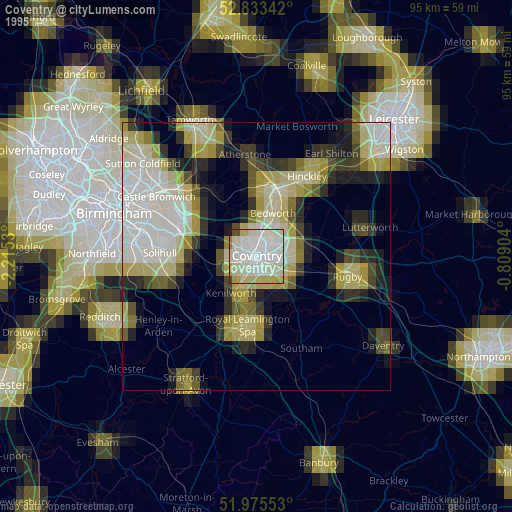
» NASA, Earths city lights 1995
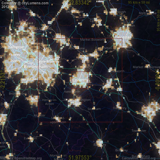
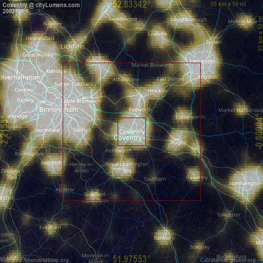
» NASA city lights 2003
» Earth at Night: Flat Maps 2012, 2016