Royton night lights from space
Night Light of Royton (England) from space (United Kingdom) Src. Average luminocity for 10x10km area is 73.6894% and for 50x50km: 40.5068%.
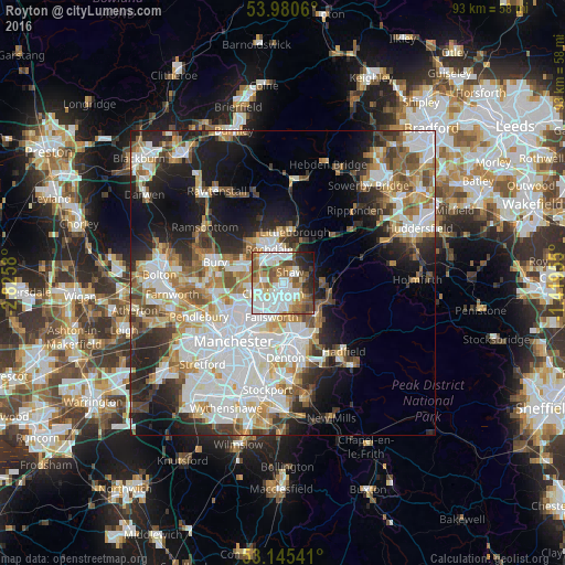
Analysis of Royton night lights 2016
Square area 10x10 km:
 23.61%
90-99
20.33%80-89
5.68%70-79
7.07%60-69
11.24%50-59
11.62%40-49
7.2%30-39
4.29%20-29
5.56%10-19
3.41%0-9
0%Square area 50x50 km:
11.61%90-99
9.18%80-89
3.91%70-79
4.22%60-69
5.19%50-59
4.82%40-49
4.14%30-39
4.28%20-29
7.76%10-19
12.02%0-9
32.87%Clear (daylight) street map image can be seen on geolist.org.
Map coordinates:
53° 58' 50.2" North, 2° 49' 32.9" West
53° 33' 54.3" North, 2° 7' 21.6" West
53° 8' 43.5" North, 1° 25' 10.4" West
Some cities around Royton sort by population:
• Oldham
2.7 km =1.7 mi,  173°
173°
• Rochdale
6.2 km =3.9 mi,  339°
339°
• Middleton
5.4 km =3.4 mi,  251°
251°
• Heywood
7.1 km =4.4 mi,  295°
295°
• Failsworth
7.3 km =4.5 mi,  202°
202°
• Milnrow
5.2 km =3.2 mi,  7°
7°
• Blackley
8 km =5 mi,  228°
228°
• Mossley
8.1 km =5 mi,  134°
134°
2639015 (p: 22,848)
Sources (retrieved 2019-11-25):
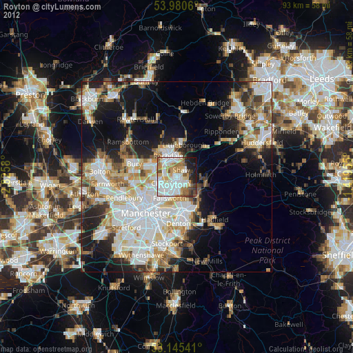
» Earth at Night: Flat Maps 2012, 2016