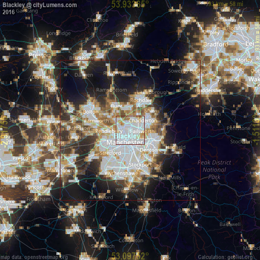
Blackley night lights from space
Night Light of Blackley (England) from space (United Kingdom) Src. Average luminocity for 10x10km area is 95.2421% and for 50x50km: 39.7691%.
Analysis of Blackley night lights 2016
Square area 10x10 km:
 61.11%
90-99
21.3%80-89
8.07%70-79
5.16%60-69
3.44%50-59
0.66%40-49
0.26%30-39
0%20-29
0%10-19
0%0-9
0%Square area 50x50 km:
10.8%90-99
8.67%80-89
3.86%70-79
3.98%60-69
4.78%50-59
4.65%40-49
4.56%30-39
5.19%20-29
8.4%10-19
14.63%0-9
30.48%Clear (daylight) street map image can be seen on geolist.org.
Map coordinates:
53° 56' 1.1" North, 2° 55' 3.2" West
53° 31' 3.5" North, 2° 12' 51.9" West
53° 5' 51.1" North, 1° 30' 40.7" West
Some cities around Blackley sort by population:
• Manchester
4.4 km =2.7 mi,  200°
200°
• Salford
6 km =3.7 mi,  236°
236°
• Middleton
3.7 km =2.3 mi,  14°
14°
• Prestwich
4.9 km =3 mi,  290°
290°
• Droylsden
6.2 km =3.9 mi,  132°
132°
• Failsworth
3.5 km =2.2 mi,  113°
113°
• Cheetham Hill
2.6 km =1.6 mi,  216°
216°
• Crumpsall
2 km =1.2 mi,  271°
271°
6691222 (p: 10,196)
Sources (retrieved 2019-11-25):
» Earth at Night: Flat Maps 2012, 2016