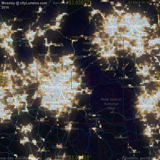
Mossley night lights from space
Night Light of Mossley (England) from space (United Kingdom) Src. Average luminocity for 10x10km area is 48.6402% and for 50x50km: 35.2558%.
Analysis of Mossley night lights 2016
Square area 10x10 km:
 12.57%
90-99
9.52%80-89
3.17%70-79
5.56%60-69
6.08%50-59
10.32%40-49
9.13%30-39
4.37%20-29
7.94%10-19
16.4%0-9
14.95%Square area 50x50 km:
10.15%90-99
7.97%80-89
3.4%70-79
3.74%60-69
4.7%50-59
4.16%40-49
3.47%30-39
3.41%20-29
6.07%10-19
10.71%0-9
42.22%Clear (daylight) street map image can be seen on geolist.org.
Map coordinates:
53° 55' 50.1" North, 2° 44' 15.9" West
53° 30' 52.3" North, 2° 2' 4.6" West
53° 5' 39.8" North, 1° 19' 53.4" West
Some cities around Mossley sort by population:
• Oldham
6.2 km =3.9 mi,  297°
297°
• Ashton-under-Lyne
5.1 km =3.2 mi,  236°
236°
• Hyde
7.6 km =4.7 mi,  202°
202°
• Droylsden
8.3 km =5.2 mi, 242°
• Royton
8.1 km =5 mi,  314°
314°
• Stalybridge
3.7 km =2.3 mi,  205°
205°
• Dukinfield
5.6 km =3.5 mi,  218°
218°
• Longdendale
5.8 km =3.6 mi,  156°
156°
2642143 (p: 9,929)
Sources (retrieved 2019-11-25):
» Earth at Night: Flat Maps 2012, 2016