Rossendale night lights from space
Night Light of Rossendale (England) from space (United Kingdom) Src. Average luminocity for 10x10km area is 24.4255% and for 50x50km: 32.224%.
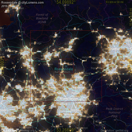
Analysis of Rossendale night lights 2016
Square area 10x10 km:
 1.89%
1.89%90-99
2.15%80-89
2.02%70-79
3.28%60-69
3.03%50-59
5.56%40-49
3.79%30-39
2.15%20-29
4.29%10-19
44.44%0-9
27.4%Square area 50x50 km:
7.51%90-99
6.17%80-89
2.94%70-79
3.68%60-69
4.51%50-59
4.24%40-49
4.26%30-39
4.05%20-29
7.34%10-19
15.73%0-9
39.56%Clear (daylight) street map image can be seen on geolist.org.
Map coordinates:
54° 5' 56.1" North, 2° 58' 48.1" West
53° 41' 4.4" North, 2° 16' 36.8" West
53° 15' 57.9" North, 1° 34' 25.6" West
Some cities around Rossendale sort by population:
• Bury
9.5 km =5.9 mi,  189°
189°
• Accrington
9.4 km =5.8 mi,  325°
325°
• Rawtenstall
1.9 km =1.2 mi,  344°
344°
• Ramsbottom
4.9 km =3 mi,  212°
212°
• Haslingden
3.7 km =2.3 mi,  303°
303°
• Bacup
5.4 km =3.4 mi,  67°
67°
• Tottington
9 km =5.6 mi, 207°
• Whitworth
7.3 km =4.5 mi,  115°
115°
8299614 (p: 67,400)
Sources (retrieved 2019-11-25):
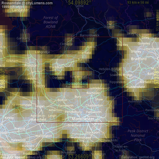
» NASA, Earths city lights 1995
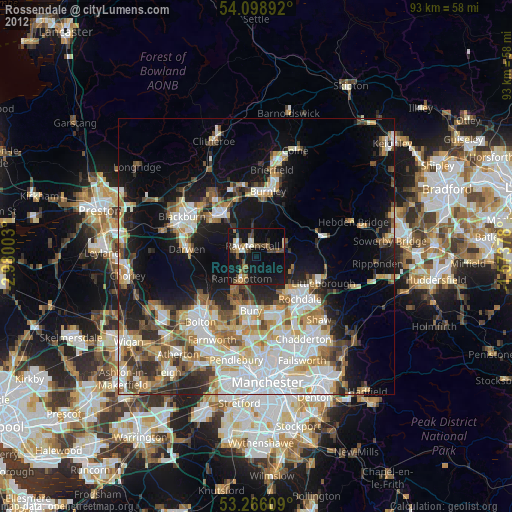
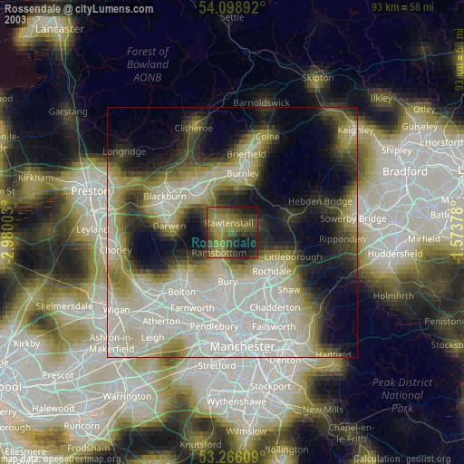
» NASA city lights 2003
» Earth at Night: Flat Maps 2012, 2016