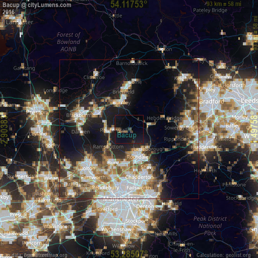
Bacup night lights from space
Night Light of Bacup (England) from space (United Kingdom) Src. Average luminocity for 10x10km area is 9.4798% and for 50x50km: 29.8609%.
Analysis of Bacup night lights 2016
Square area 10x10 km:
 0%
0%90-99
0%80-89
0%70-79
0%60-69
0.51%50-59
2.53%40-49
2.27%30-39
3.03%20-29
1.52%10-19
20.45%0-9
69.7%Square area 50x50 km:
6.47%90-99
5.49%80-89
2.9%70-79
3.32%60-69
4.46%50-59
4.45%40-49
4.1%30-39
3.67%20-29
6.36%10-19
15.3%0-9
43.48%Clear (daylight) street map image can be seen on geolist.org.
Map coordinates:
54° 7' 3.1" North, 2° 54' 13.8" West
53° 42' 12.1" North, 2° 12' 2.5" West
53° 17' 6.3" North, 1° 29' 51.3" West
Some cities around Bacup sort by population:
• Rossendale
5.4 km =3.4 mi,  247°
247°
• Rawtenstall
5.5 km =3.4 mi,  266°
266°
• Ramsbottom
9.8 km =6.1 mi,  231°
231°
• Haslingden
8.1 km =5 mi, 269°
• Littleborough
9.5 km =5.9 mi,  133°
133°
• Todmorden
6.9 km =4.3 mi,  79°
79°
• Wardle
7.4 km =4.6 mi,  143°
143°
• Whitworth
5.5 km =3.4 mi,  163°
163°
2656666 (p: 13,047)
Sources (retrieved 2019-11-25):
» Earth at Night: Flat Maps 2012, 2016