Rawtenstall night lights from space
Night Light of Rawtenstall (England) from space (United Kingdom) Src. Average luminocity for 10x10km area is 22.5152% and for 50x50km: 30.2216%.
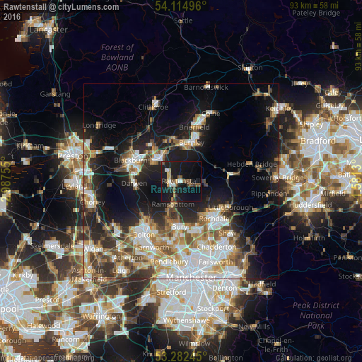
Analysis of Rawtenstall night lights 2016
Square area 10x10 km:
 1.89%
1.89%90-99
2.15%80-89
1.01%70-79
2.78%60-69
2.78%50-59
4.55%40-49
3.54%30-39
1.89%20-29
3.91%10-19
45.71%0-9
29.8%Square area 50x50 km:
6.5%90-99
5.64%80-89
2.88%70-79
3.67%60-69
4.41%50-59
4.16%40-49
4.12%30-39
3.71%20-29
6.91%10-19
15.44%0-9
42.57%Clear (daylight) street map image can be seen on geolist.org.
Map coordinates:
54° 6' 53.9" North, 2° 59' 15.2" West
53° 42' 2.7" North, 2° 17' 3.9" West
53° 16' 56.8" North, 1° 34' 52.7" West
Some cities around Rawtenstall sort by population:
• Rossendale
1.9 km =1.2 mi,  164°
164°
• Accrington
7.7 km =4.8 mi,  320°
320°
• Ramsbottom
6.3 km =3.9 mi,  199°
199°
• Haslingden
2.6 km =1.6 mi,  276°
276°
• Bacup
5.5 km =3.4 mi,  86°
86°
• Clayton le Moors
9.8 km =6.1 mi, 318°
• Tottington
10.4 km =6.5 mi, 200°
• Whitworth
8.6 km =5.3 mi,  125°
125°
2639586 (p: 22,114)
Sources (retrieved 2019-11-25):
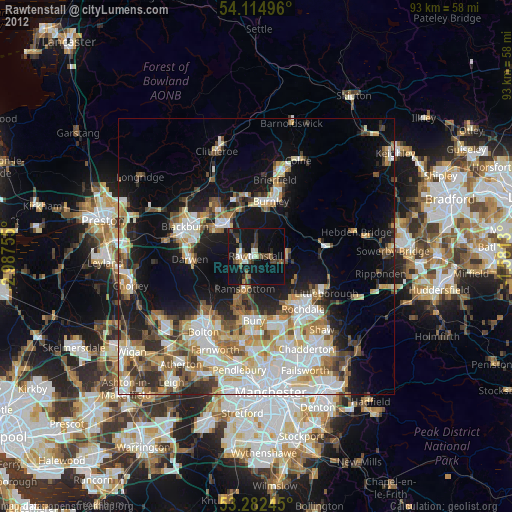
» Earth at Night: Flat Maps 2012, 2016