Totton night lights from space
Night Light of Totton (England) from space (United Kingdom) Src. Average luminocity for 10x10km area is 39.535% and for 50x50km: 11.5666%.
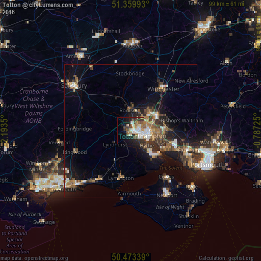
Analysis of Totton night lights 2016
Square area 10x10 km:
 8.82%
8.82%90-99
8.4%80-89
2.52%70-79
3.5%60-69
7%50-59
4.34%40-49
5.88%30-39
7.28%20-29
11.76%10-19
14.01%0-9
26.47%Square area 50x50 km:
1.21%90-99
1.64%80-89
0.86%70-79
1.2%60-69
1.87%50-59
2.05%40-49
2.19%30-39
2.49%20-29
3.32%10-19
8.2%0-9
74.97%Clear (daylight) street map image can be seen on geolist.org.
Map coordinates:
51° 21' 35.7" North, 2° 11' 36.6" West
50° 55' 7.6" North, 1° 29' 25.3" West
50° 28' 24.2" North, 0° 47' 14.1" West
Some cities around Totton sort by population:
• Southampton
6.3 km =3.9 mi,  105°
105°
• Eastleigh
11.2 km =7 mi,  61°
61°
• Hythe
9 km =5.6 mi,  136°
136°
• Bishopstoke
12.5 km =7.8 mi, 64°
• Romsey
7.8 km =4.8 mi,  355°
355°
• North Baddesley
7.2 km =4.5 mi,  25°
25°
• Netley
10.7 km =6.6 mi,  116°
116°
• Marchwood
4.1 km =2.5 mi, 142°
2635603 (p: 34,169)
Sources (retrieved 2019-11-25):
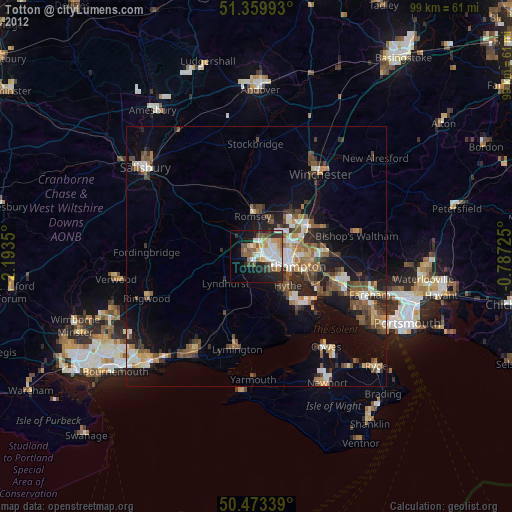
» Earth at Night: Flat Maps 2012, 2016