Redcar night lights from space
Night Light of Redcar (England) from space (United Kingdom) Src. Average luminocity for 10x10km area is 42.485% and for 50x50km: 14.2907%.
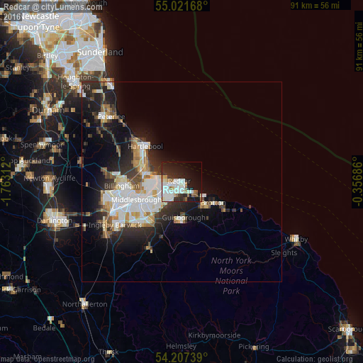
Analysis of Redcar night lights 2016
Square area 10x10 km:
 11.53%
90-99
13.66%80-89
3.01%70-79
2.63%60-69
3.01%50-59
3.76%40-49
1%30-39
3.88%20-29
12.53%10-19
25.56%0-9
19.42%Square area 50x50 km:
3.18%90-99
3.44%80-89
1.24%70-79
1.23%60-69
1.43%50-59
1.39%40-49
1.35%30-39
2.19%20-29
4.35%10-19
7.65%0-9
72.56%Clear (daylight) street map image can be seen on geolist.org.
Map coordinates:
55° 1' 18" North, 1° 45' 47.2" West
54° 36' 59.7" North, 1° 3' 36" West
54° 12' 26.6" North, 0° 21' 24.7" West
Some cities around Redcar sort by population:
• Middlesbrough
12.1 km =7.5 mi,  248°
248°
• Hartlepool
12.3 km =7.6 mi,  308°
308°
• Billingham
15.2 km =9.4 mi,  258°
258°
• Guisborough
9.1 km =5.7 mi,  178°
178°
• Marske-by-the-Sea
3.8 km =2.4 mi,  137°
137°
• Skelton
7.8 km =4.8 mi, 143°
• Saltburn-by-the-Sea
6.7 km =4.2 mi,  124°
124°
• Brotton
9.6 km =6 mi,  125°
125°
2639563 (p: 37,203)
Sources (retrieved 2019-11-25):
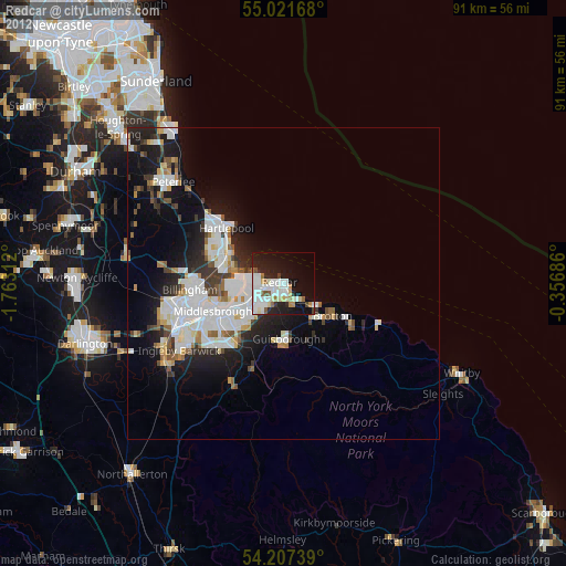
» Earth at Night: Flat Maps 2012, 2016