Hartlepool night lights from space
Night Light of Hartlepool (England) from space (United Kingdom) Src. Average luminocity for 10x10km area is 35.0576% and for 50x50km: 22.48%.
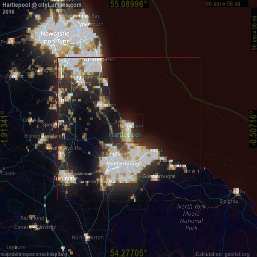
Analysis of Hartlepool night lights 2016
Square area 10x10 km:
 4.14%
4.14%90-99
4.51%80-89
2.88%70-79
6.02%60-69
8.52%50-59
3.38%40-49
2.51%30-39
6.77%20-29
16.54%10-19
28.7%0-9
16.04%Square area 50x50 km:
5.37%90-99
5.07%80-89
1.81%70-79
2.07%60-69
2.53%50-59
2.11%40-49
2.16%30-39
3.52%20-29
6.63%10-19
12.04%0-9
56.69%Clear (daylight) street map image can be seen on geolist.org.
Map coordinates:
55° 5' 23.9" North, 1° 54' 48.3" West
54° 41' 7.9" North, 1° 12' 37" West
54° 16' 37.4" North, 0° 30' 25.8" West
Some cities around Hartlepool sort by population:
• Middlesbrough
12.3 km =7.6 mi,  187°
187°
• Stockton-on-Tees
14.8 km =9.2 mi,  208°
208°
• Redcar
12.3 km =7.6 mi,  128°
128°
• Peterlee
11.6 km =7.2 mi,  315°
315°
• Billingham
11.9 km =7.4 mi, 205°
• Marske-by-the-Sea
16.1 km =10 mi, 130°
• Easington
14.6 km =9.1 mi, 319°
• Wingate
12 km =7.5 mi,  295°
295°
2647400 (p: 88,855)
Sources (retrieved 2019-11-25):
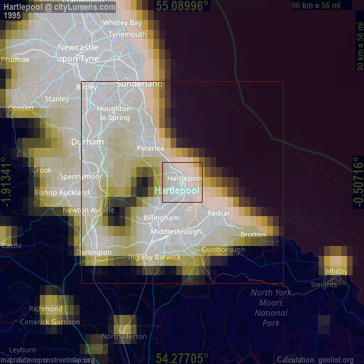
» NASA, Earths city lights 1995
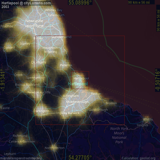
» NASA city lights 2003
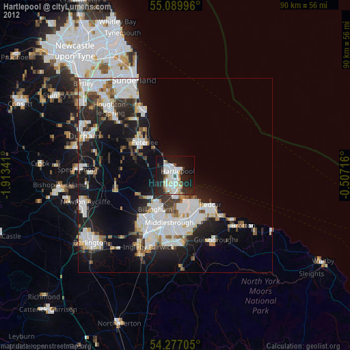
» Earth at Night: Flat Maps 2012, 2016