Preston night lights from space
Night Light of Preston (England) from space (United Kingdom) Src. Average luminocity for 10x10km area is 63.7083% and for 50x50km: 23.6212%.
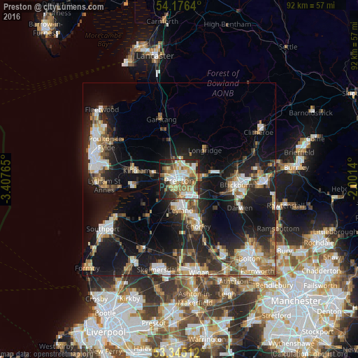
Analysis of Preston night lights 2016
Square area 10x10 km:
 11.49%
90-99
16.79%80-89
9.22%70-79
9.85%60-69
12.5%50-59
6.69%40-49
5.68%30-39
8.08%20-29
10.23%10-19
9.22%0-9
0.25%Square area 50x50 km:
3.64%90-99
4.66%80-89
2.07%70-79
2.47%60-69
3.37%50-59
2.93%40-49
3.12%30-39
3.14%20-29
7.89%10-19
18.55%0-9
48.15%Clear (daylight) street map image can be seen on geolist.org.
Map coordinates:
54° 10' 35" North, 3° 24' 27.5" West
53° 45' 46.2" North, 2° 42' 16.3" West
53° 20' 42.4" North, 2° 0' 5" West
Some cities around Preston sort by population:
• Leyland
7.3 km =4.5 mi,  171°
171°
• Chorley
13.8 km =8.6 mi,  155°
155°
• Clayton-le-Woods
7.7 km =4.8 mi, 161°
• Kirkham
11.2 km =7 mi,  281°
281°
• Tarleton
12.3 km =7.6 mi,  221°
221°
• Freckleton
10.6 km =6.6 mi,  264°
264°
• Euxton
10.5 km =6.5 mi, 169°
• Longridge
10.3 km =6.4 mi,  41°
41°
2639912 (p: 313,332)
Sources (retrieved 2019-11-25):
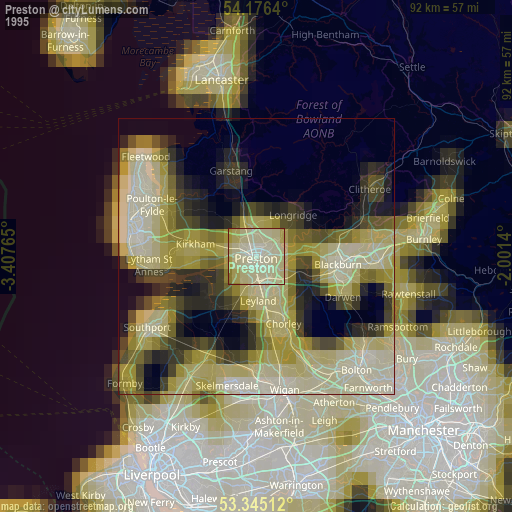
» NASA, Earths city lights 1995
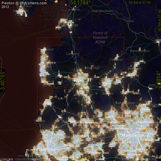
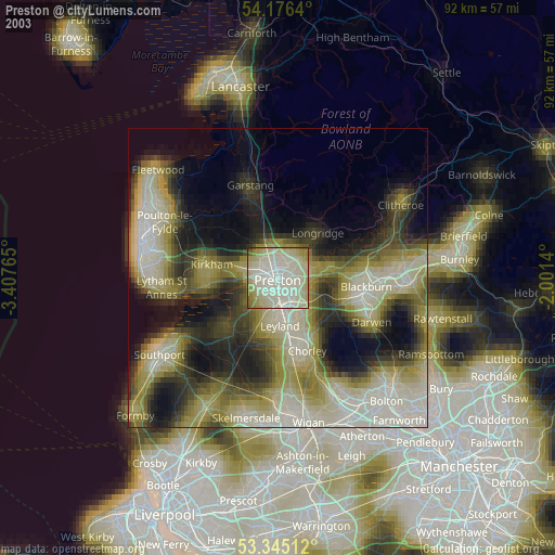
» NASA city lights 2003
» Earth at Night: Flat Maps 2012, 2016