Pontypool night lights from space
Night Light of Pontypool (Wales) from space (United Kingdom) Src. Average luminocity for 10x10km area is 18.4496% and for 50x50km: 17.048%.
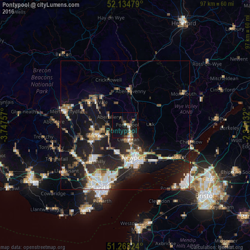
Analysis of Pontypool night lights 2016
Square area 10x10 km:
 1.54%
1.54%90-99
2.38%80-89
1.54%70-79
1.54%60-69
2.52%50-59
2.1%40-49
3.64%30-39
1.4%20-29
4.9%10-19
23.11%0-9
55.32%Square area 50x50 km:
2.77%90-99
3.49%80-89
1.29%70-79
1.81%60-69
1.72%50-59
1.88%40-49
2.04%30-39
2.56%20-29
6.29%10-19
14.01%0-9
62.15%Clear (daylight) street map image can be seen on geolist.org.
Map coordinates:
52° 8' 5.2" North, 3° 44' 51.3" West
51° 42' 4" North, 3° 2' 40" West
51° 15' 47.7" North, 2° 20' 28.8" West
Some cities around Pontypool sort by population:
• Cwmbran
5.4 km =3.4 mi,  163°
163°
• Risca
11.1 km =6.9 mi,  200°
200°
• Blackwood
11.8 km =7.3 mi,  251°
251°
• Abertillery
7 km =4.3 mi,  297°
297°
• Abercarn
8.6 km =5.3 mi,  226°
226°
• Newbridge
7.2 km =4.5 mi,  237°
237°
• Crumlin
6.8 km =4.2 mi, 247°
• Blaenavon
8.6 km =5.3 mi,  340°
340°
2640106 (p: 35,686)
Sources (retrieved 2019-11-25):
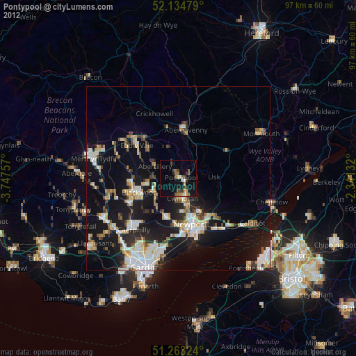
» Earth at Night: Flat Maps 2012, 2016